Sandy Bay, Cape Town
Map
Map

Facts and practical information
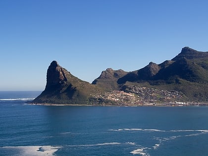
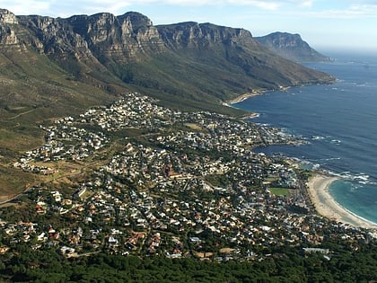
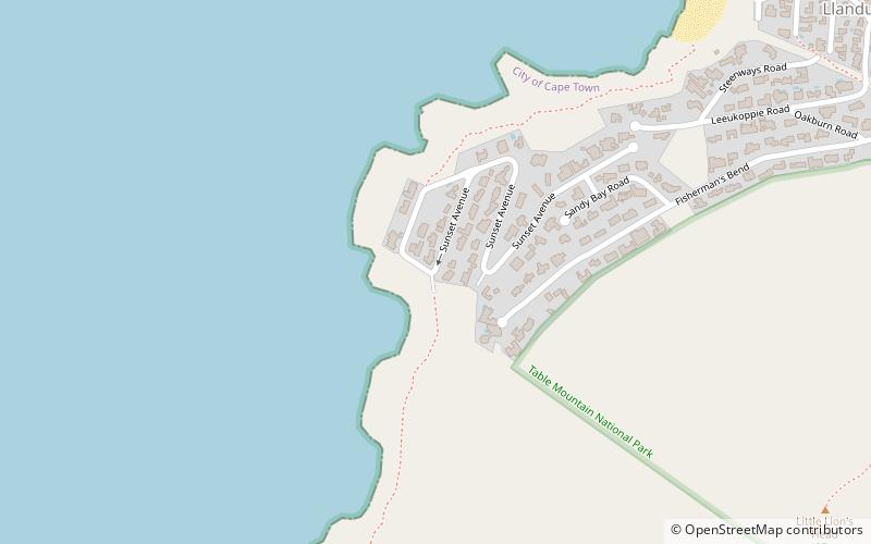
Sandy Bay is a nudist beach just south of Llandudno. It is on the west side of the Karbonkelberg, and cannot be seen from the main road to Hout Bay, which turns inland above Llandudno. ()
Coordinates: 34°0'46"S, 18°20'9"E
Address
LlandudnoCape Town
ContactAdd
Social media
Add
Day trips
Sandy Bay – popular in the area (distance from the attraction)
Nearby attractions include: Llandudno Beach House, Hout Bay Museum, Theatre on the Bay, Woodhead Dam.
Frequently Asked Questions (FAQ)
How to get to Sandy Bay by public transport?
The nearest stations to Sandy Bay:
Bus
Bus
- Llandudno • Lines: 109 (21 min walk)
- Ruyterplaats • Lines: 109 (21 min walk)


