Queen's Fort Military Museum, Bloemfontein
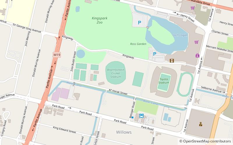
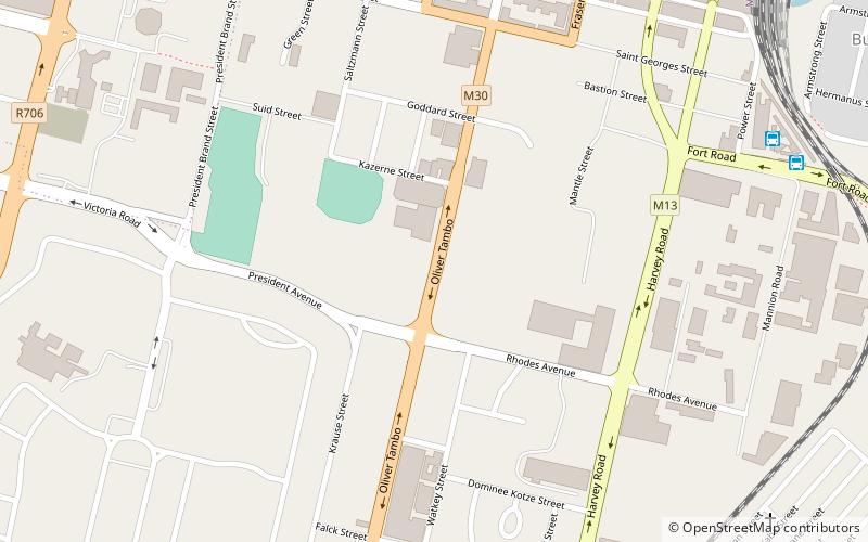
Map
Map

Facts and practical information
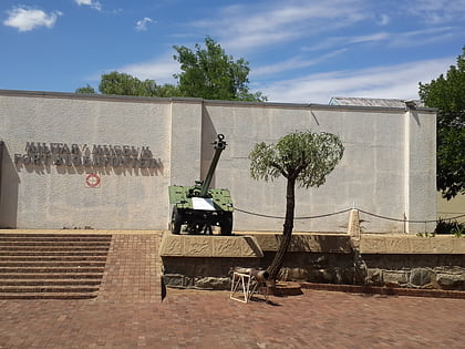
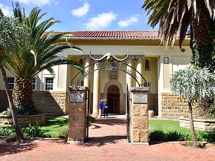
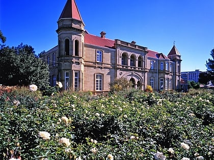
Queen's Fort Military Museum is a museum in Bloemfontein, South Africa, which depicts all major wars in the Free State from the 1800s. The building was erected in 1848 and put to use for the first time in 1849. Along the years, it has been used as military headquarters, a hospital, an asylum or mental institution, and a prison. ()
Coordinates: 29°7'31"S, 26°13'11"E
Address
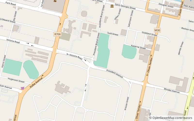
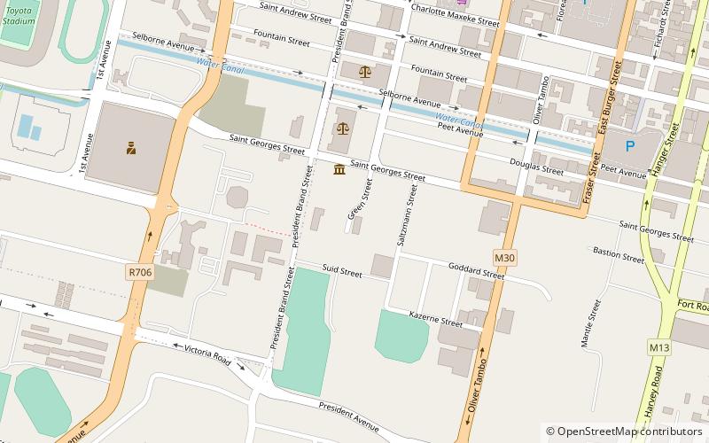
116 Church Street, City Centre, Free StateBloemfontein 9301
Contact
+27 51 447 5478
Social media
Add
Day trips
Queen's Fort Military Museum – popular in the area (distance from the attraction)
Nearby attractions include: Free State Stadium, National Women's Monument, Anglo-Boer War Museum, National Museum.
Frequently Asked Questions (FAQ)
Which popular attractions are close to Queen's Fort Military Museum?
Nearby attractions include Cathedral of St Andrew and St Michael, Bloemfontein (8 min walk), Sacred Heart Cathedral, Bloemfontein (8 min walk), Old Presidency, Bloemfontein (13 min walk), National Museum, Bloemfontein (19 min walk).
How to get to Queen's Fort Military Museum by public transport?
The nearest stations to Queen's Fort Military Museum:
Train
Train
- Bloemfontein (16 min walk)
- Hamilton (20 min walk)
