Free State Stadium, Bloemfontein
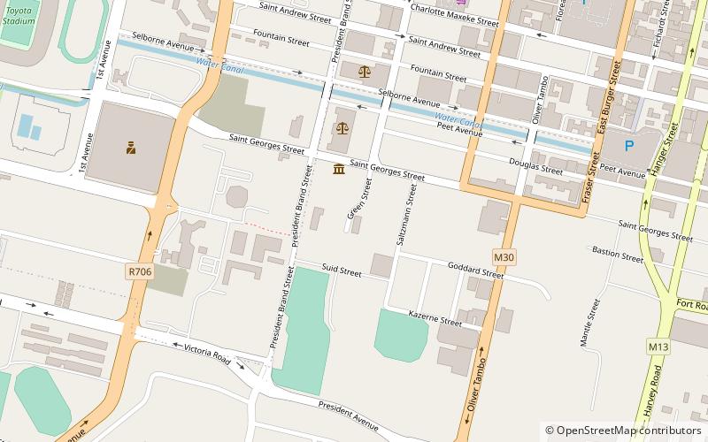
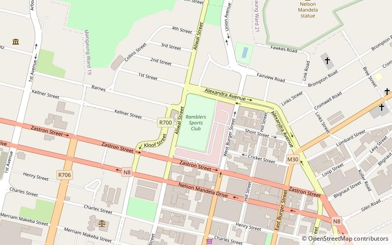
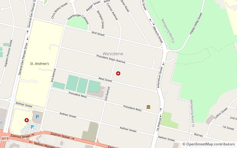
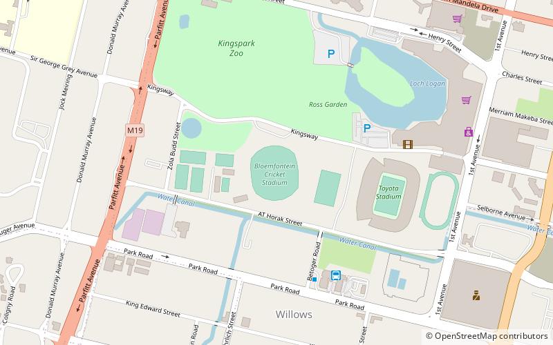
Map
Gallery
Facts and practical information
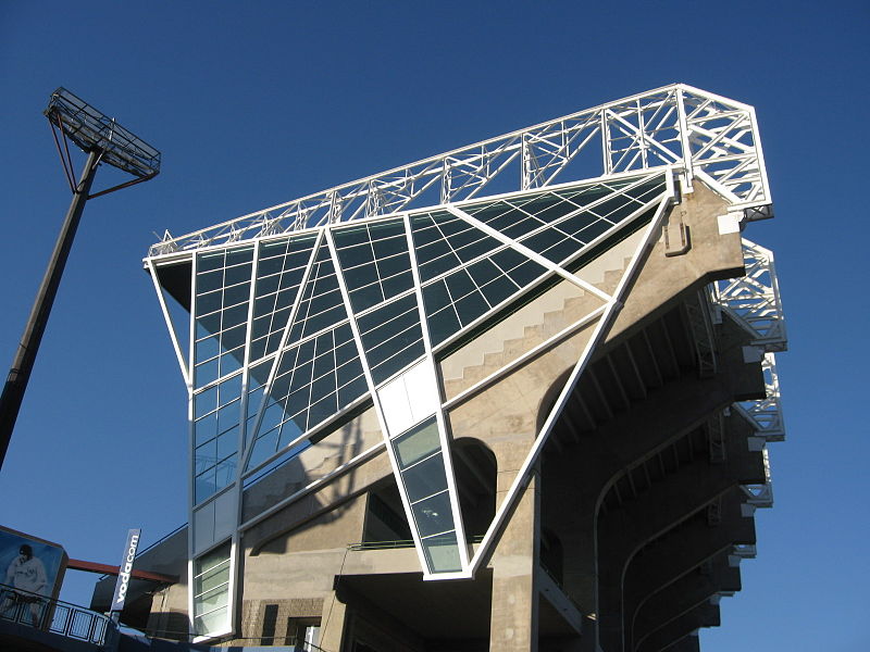
The Free State Stadium, currently known as the Toyota Stadium for sponsorship reasons and formerly known as Vodacom Park, is a stadium in Bloemfontein, South Africa, used mainly for rugby union and also sometimes for association football. It was originally built for the 1995 Rugby World Cup, and was one of the venues for the 2010 FIFA World Cup. ()
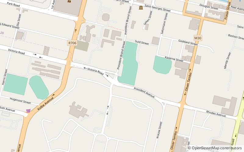
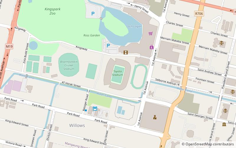
Local name: Vrystaatstadion Area: 54.36 acres (0.0849 mi²)Capacity: 46 thous.Coordinates: 29°7'2"S, 26°12'32"E
Address
Att Horak AveBloemfontein
ContactAdd
Social media
Add
Day trips
Free State Stadium – popular in the area (distance from the attraction)
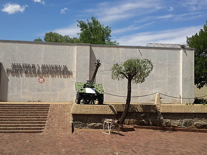
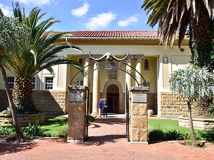
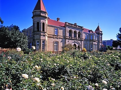
Nearby attractions include: Queen's Fort Military Museum, National Museum, Old Presidency, Cathedral of St Andrew and St Michael.
Frequently Asked Questions (FAQ)
Which popular attractions are close to Free State Stadium?
Nearby attractions include Old Presidency, Bloemfontein (12 min walk), Sacred Heart Cathedral, Bloemfontein (15 min walk), National Museum, Bloemfontein (17 min walk), Cathedral of St Andrew and St Michael, Bloemfontein (17 min walk).
How to get to Free State Stadium by public transport?
The nearest stations to Free State Stadium:
Train
Train
- Bloemfontein (28 min walk)

