SAS Wingfield, Cape Town

Map
Facts and practical information
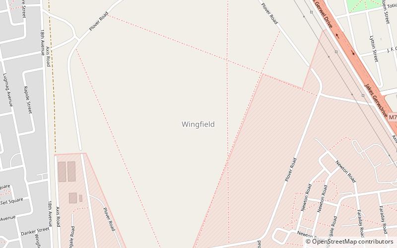
SAS Wingfield is a South African Navy base, on the site of the World War II Wingfield Aerodrome in Cape Town. ()
Coordinates: 33°54'27"S, 18°31'45"E
Address
WingfieldCape Town
ContactAdd
Social media
Add
Day trips
SAS Wingfield – popular in the area (distance from the attraction)
Nearby attractions include: Canal Walk, Ratanga Junction, Milnerton Lighthouse, Milnerton.
Frequently Asked Questions (FAQ)
How to get to SAS Wingfield by public transport?
The nearest stations to SAS Wingfield:
Train
Bus
Train
- Thornton (21 min walk)
- Acacia Park (23 min walk)
Bus
- Century City Rail • Lines: 251 (29 min walk)
- Canal Walk North • Lines: 251 (34 min walk)


