Southern Suburbs, Cape Town

Gallery (1)
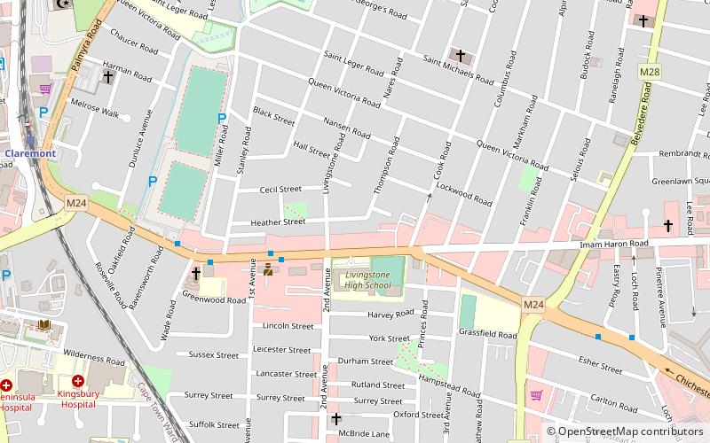
Map
Map
Facts and practical information
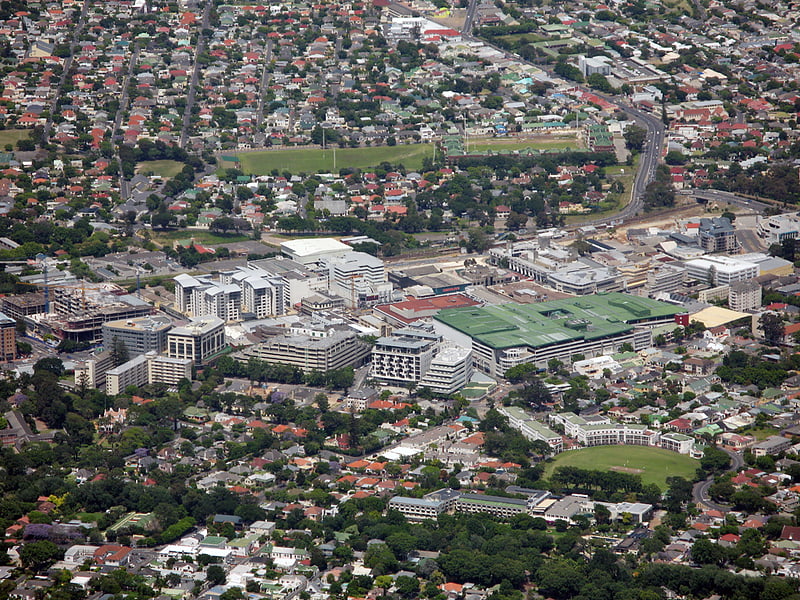
The Southern Suburbs are a group of suburbs in Cape Town, Western Cape, South Africa. This group includes, among others, Observatory, Mowbray, Pinelands, Thornton, Rosebank, Rondebosch, Rondebosch East, Newlands, Claremont, Lansdowne, Kenilworth, Bishopscourt, Constantia, Wynberg, Ottery, Plumstead, Diep River, Bergvliet and Tokai. ()
Coordinates: 33°59'0"S, 18°28'30"E
Address
ClaremontCape Town
ContactAdd
Social media
Add
Getting there by public transportation
Public transportation stops near this location
- Bus
- Train
 Bus
Bus
- Calculate routeHarfield Road 11 min walk
- Calculate routeClaremont 12 min walk
- Calculate routeNewlands 20 min walk
- Calculate routeKenilworth 22 min walk
- Calculate routeClaremont Bus Terminus 14 min walk
- Calculate routeClaremont 16 min walk
Day trips


Frequently Asked Questions (FAQ)
Which popular attractions are close to Southern Suburbs?
Nearby attractions include Arderne Gardens, Cape Town (17 min walk), Keurboom Park, Cape Town (19 min walk).
How to get to Southern Suburbs by public transport?
The nearest stations to Southern Suburbs:
Train
Bus
Train
- Harfield Road (11 min walk)
- Claremont (12 min walk)
Bus
- Claremont Bus Terminus (14 min walk)
- Claremont • Lines: 1 (16 min walk)