Hangang Bridge, Seoul
Map
Map

Facts and practical information
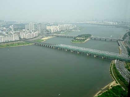
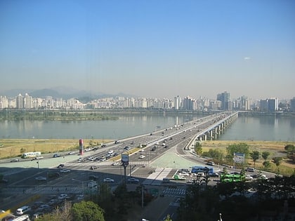
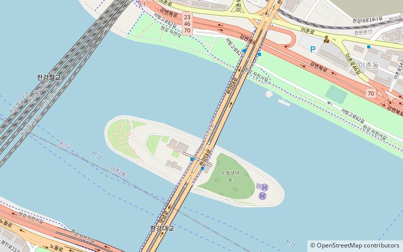
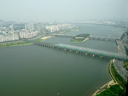
The Hangang Bridge, literally Han River bridge, crosses the Han River in Seoul, South Korea. It connects the districts of Yongsan-gu to the north and Dongjak-gu to the south, and crosses over the artificial island of Nodeulseom. The bridge carries eight lanes of traffic. ()
Address
용산구 (이촌2동)Seoul
ContactAdd
Social media
Add
Day trips
Hangang Bridge – popular in the area (distance from the attraction)
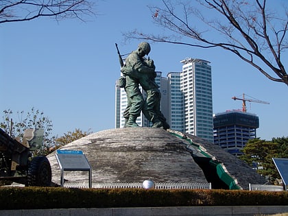
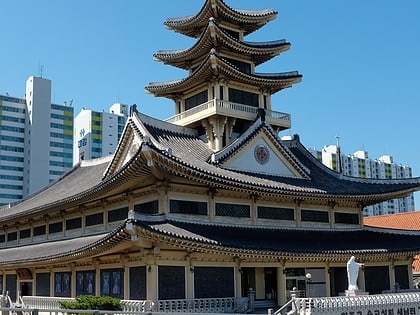
Nearby attractions include: National Museum of Korea, War Memorial of Korea, Noryangjin Fisheries Wholesale Market, Gyeongcheonsa Pagoda.
Frequently Asked Questions (FAQ)
Which popular attractions are close to Hangang Bridge?
Nearby attractions include Hangang Railway Bridge, Seoul (10 min walk), Saenamteo, Seoul (12 min walk), Bon-dong, Seoul (15 min walk), Hangangno-dong, Seoul (18 min walk).
How to get to Hangang Bridge by public transport?
The nearest stations to Hangang Bridge:
Bus
Metro
Train
Bus
- 노들섬 • Lines: 507 (3 min walk)
- North End of Hangadaegyo • Lines: 100, 150, 152, 500, 501, 504, 506, 507, 605, 750, 751, 752, N15 (11 min walk)
Metro
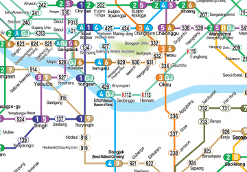
- Nodeul • Lines: 9 (13 min walk)
- Heukseok • Lines: 9 (20 min walk)
Train
- Yongsan (22 min walk)
 Metro
Metro


