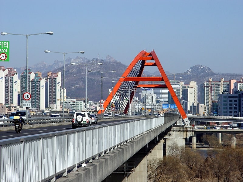
Mapo Bridge, Seoul

Gallery (1)
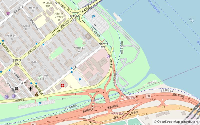
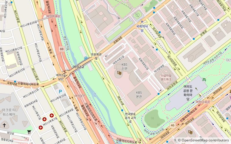
Map
Map
Facts and practical information
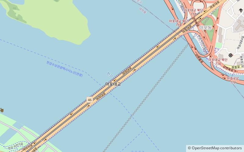
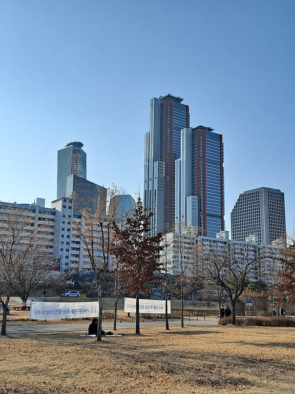
The Mapo Bridge crosses the Han River in South Korea and connects the Mapo District and the Yeongdeungpo District in the city of Seoul. The bridge was completed in 1970. Until 1984, the bridge was called Seoul Bridge. ()
Getting there by public transportation
Public transportation stops near this location
- Metro
- Bus
- Train
 Metro
Metro
- Calculate routeYeouinaru Station 14 min walk
- Calculate routeYeouido Gongjak Apt. 17 min walk
- Calculate routeMapo Station 17 min walk
- Calculate route여의나루 15 min walk
- Calculate route마포 16 min walk
- Calculate route광흥창 25 min walk
- Calculate route대흥 26 min walk
- Calculate routeSangsu 32 min walk
Maps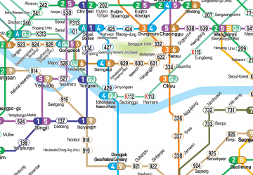 Metro
Metro
MetroDay trips


Frequently Asked Questions (FAQ)
Which popular attractions are close to Mapo Bridge?
Nearby attractions include Yonggang-dong, Seoul (9 min walk), Cheongam-dong, Seoul (13 min walk), Yeouido, Seoul (18 min walk), Wonhyo Bridge, Seoul (18 min walk).
How to get to Mapo Bridge by public transport?
The nearest stations to Mapo Bridge:
Bus
Metro
Train
Bus
- Yeouinaru Station • Lines: 5713 (14 min walk)
- Yeouido Gongjak Apt. • Lines: 5713 (17 min walk)
Metro
- 여의나루 • Lines: 5 (15 min walk)
- 마포 • Lines: 5 (16 min walk)
Train
- Sangsu (32 min walk)