Gwangjin Bridge, Seoul
Map
Map

Facts and practical information
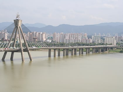
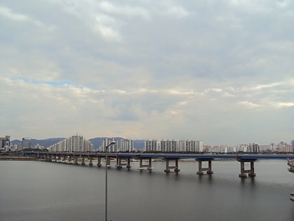
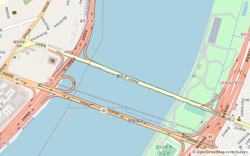
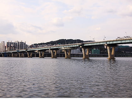
The Gwangjin Bridge crosses the Han River in South Korea and connects the districts of Gwangjin-gu and Gangdong-gu. The original bridge was completed in 1936, but because of deteriorating conditions, it was rebuilt and reopened in November 2003. ()
Day trips
Gwangjin Bridge – popular in the area (distance from the attraction)
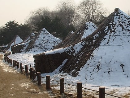
Nearby attractions include: Jamsil Railway Bridge, Olympic Bridge, Cheonho Bridge, Pungnaptoseong.
Frequently Asked Questions (FAQ)
Which popular attractions are close to Gwangjin Bridge?
Nearby attractions include Cheonho Bridge, Seoul (4 min walk), Gwangjang-dong, Seoul (13 min walk), Achasanseong, Seoul (23 min walk), Olympic Bridge, Seoul (24 min walk).
How to get to Gwangjin Bridge by public transport?
The nearest stations to Gwangjin Bridge:
Bus
Metro
Train
Bus
- 광진청소년수련관 • Lines: 13, 13-2, 9304 (11 min walk)
- 광나루역.극동아파트 • Lines: 13, 13-2, 9304 (15 min walk)
Metro
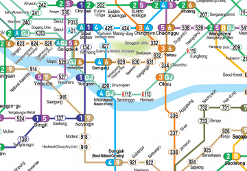
- 광나루 • Lines: 5 (14 min walk)
- Cheonho • Lines: 5, 8 (19 min walk)
Train
- Amsa (23 min walk)
 Metro
Metro