Cheonho Bridge, Seoul
Map
Map

Facts and practical information
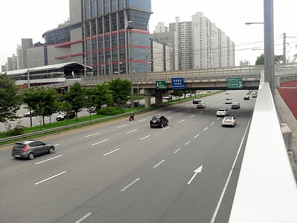
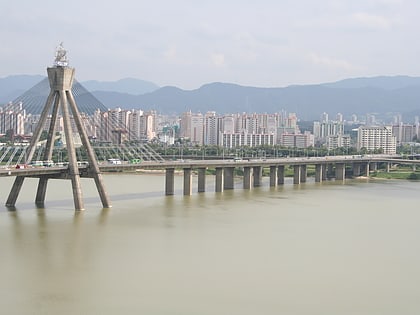
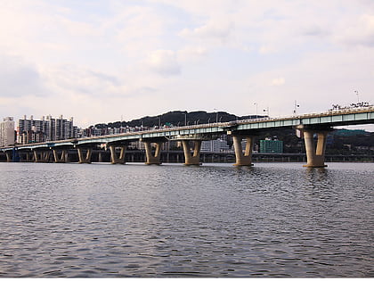
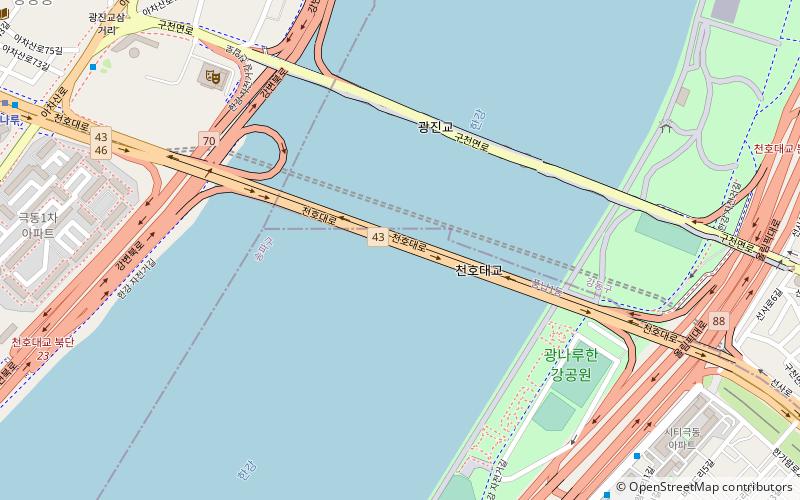
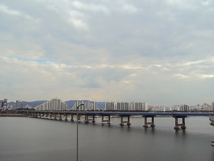
The Cheonho Bridge crosses the Han River in South Korea and connects the districts of Gangdong-gu and Gwangjin-gu. The bridge was completed on July 5, 1976. The bridge was built to relieve the heavy traffic on the Gwangjin Bridge, but by 1986 the bridge was experiencing much traffic itself. This was resolved by building the Olympic Bridge in 1988. ()
Day trips
Cheonho Bridge – popular in the area (distance from the attraction)
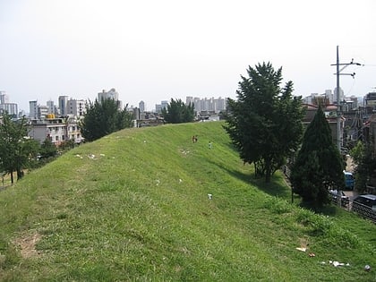
Nearby attractions include: Jamsil Railway Bridge, Olympic Bridge, Pungnaptoseong, Gwangjin Bridge.
Frequently Asked Questions (FAQ)
Which popular attractions are close to Cheonho Bridge?
Nearby attractions include Gwangjin Bridge, Seoul (4 min walk), Gwangjang-dong, Seoul (12 min walk), Olympic Bridge, Seoul (20 min walk).
How to get to Cheonho Bridge by public transport?
The nearest stations to Cheonho Bridge:
Bus
Metro
Train
Bus
- 광진청소년수련관 • Lines: 13, 13-2, 9304 (11 min walk)
- 광나루역.극동아파트 • Lines: 13, 13-2, 9304 (13 min walk)
Metro
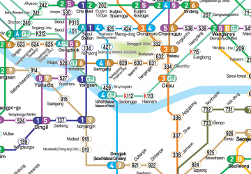
- 광나루 • Lines: 5 (13 min walk)
- Cheonho • Lines: 5, 8 (18 min walk)
Train
- Amsa (26 min walk)
 Metro
Metro