Busan Bridge, Busan
Map
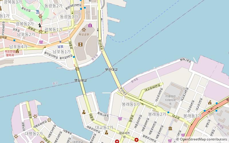
Map

Facts and practical information
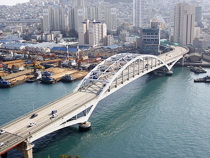
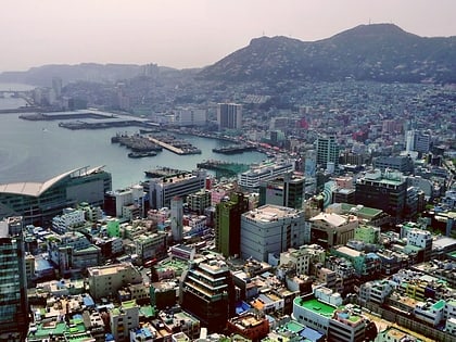
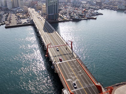
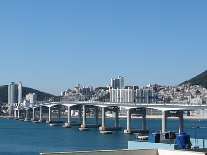
Busandaegyo is a bridge in Busan, South Korea. The bridge connects the districts of Yeongdo District and Jung District. The bridge was completed in 1980. ()
Local name: 부산대교Coordinates: 35°5'46"N, 129°2'20"E
Address
Busan
ContactAdd
Social media
Add
Day trips
Busan Bridge – popular in the area (distance from the attraction)
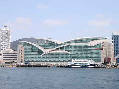
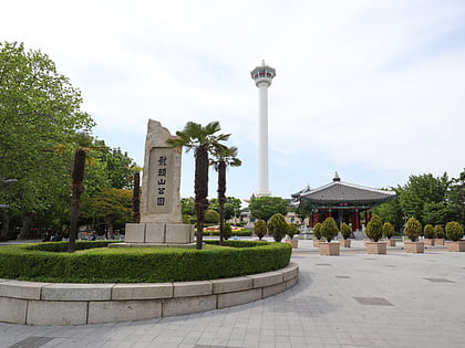
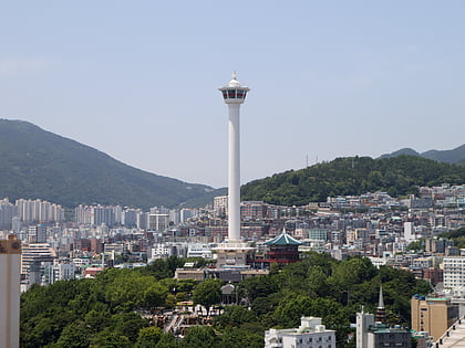
Nearby attractions include: Jagalchi Market, Yongdusan Park, Busan Tower, Busan Cooperative Fish Market.
Frequently Asked Questions (FAQ)
Which popular attractions are close to Busan Bridge?
Nearby attractions include Busan Lotte Town Tower, Busan (4 min walk), Yeongdo Bridge, Busan (5 min walk), Yongdusan Park, Busan (12 min walk), Busan Tower, Busan (14 min walk).
How to get to Busan Bridge by public transport?
The nearest stations to Busan Bridge:
Metro
Bus
Metro
- Nampo • Lines: 1 (7 min walk)
- Nampo Station (7 min walk)
Bus
- 수산물품질관리부산지원 • Lines: 부산버스 1003, 부산버스 1003(심야) (8 min walk)
- 부산데파트 • Lines: 부산버스 1003, 부산버스 1003(심야) (9 min walk)
