Bamseom, Seoul
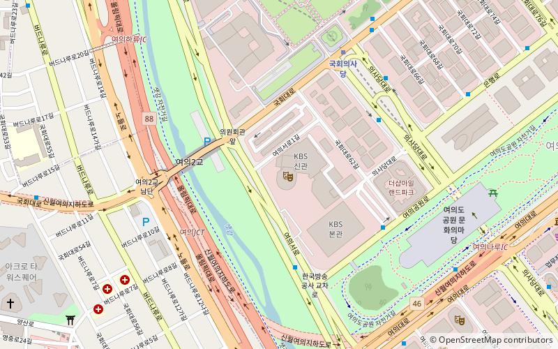
Map
Facts and practical information
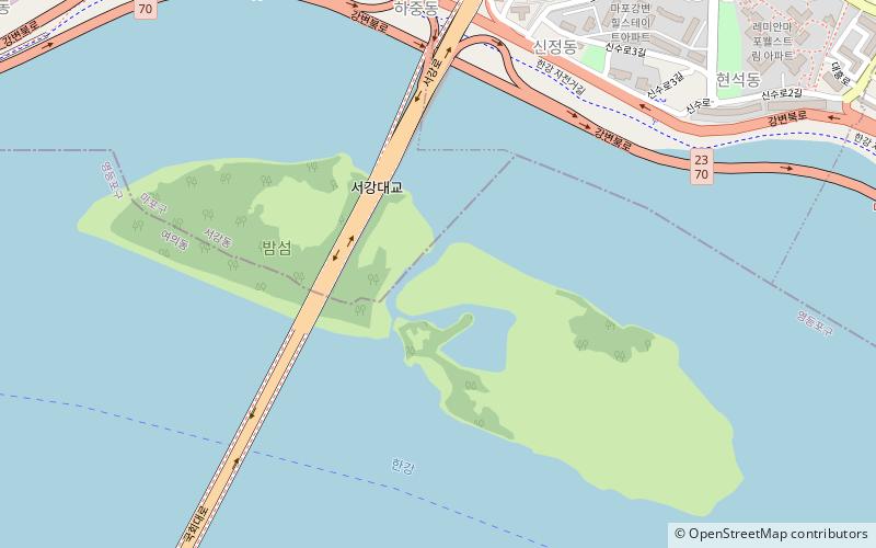
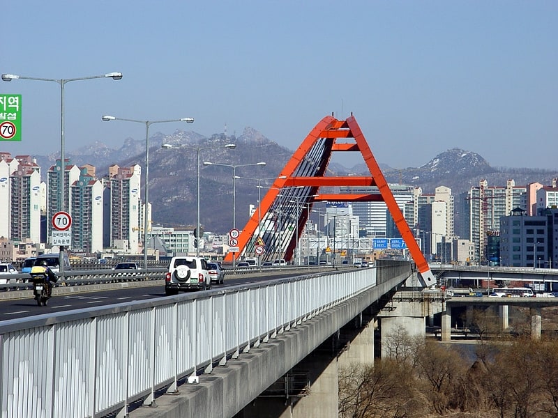
Bamseom is a pair of islets in the River Han in Seoul, South Korea. Bamseom means "chestnut island". The uninhabited islets, with a total area of about 0.24 km2 and length of 1,147 m, are located between the larger island of Yeouido, to which they were once connected, and the north shore. They remain connected to one another by a narrow strip of sedimentary silt. Seogang Bridge passes directly over the western islet, though there is no access available, as the islets have been left as a natural sanctuary. There is, however, an observation point for bird-watching. Migratory birds use the islets often and among the birds which can be seen are mallards, great egrets, mandarins, common kestrels, and Eastern spot-billed ducks. ()
Address
마포구 (신수동)Seoul
ContactAdd
Social media
Add
Getting there by public transportation
Public transportation stops near this location
- Metro
- Bus
- Train
 Metro
Metro
- Calculate route광흥창 15 min walk
- Calculate route상수 17 min walk
- Calculate route여의나루 23 min walk
- Calculate route대흥 24 min walk
- Calculate routeYeoido Sunbokeum Church 17 min walk
- Calculate routeGwangheungchang Station.Seogang-dong Community Service Center 17 min walk
- Calculate routeYeouido Park 18 min walk
- Calculate routeSangsu Station 18 min walk
- Calculate routeSangsu 17 min walk
Maps Metro
Metro
MetroDay trips


Frequently Asked Questions (FAQ)
Which popular attractions are close to Bamseom?
Nearby attractions include Seogang Bridge, Seoul (6 min walk), Seogang-dong, Seoul (9 min walk), Mapo Bridge, Seoul (15 min walk), Yonggang-dong, Seoul (17 min walk).
How to get to Bamseom by public transport?
The nearest stations to Bamseom:
Metro
Bus
Train
Metro
- 광흥창 • Lines: 6 (15 min walk)
- 상수 • Lines: 6 (17 min walk)
Bus
- Yeoido Sunbokeum Church • Lines: 463, 5713 (17 min walk)
- Gwangheungchang Station.Seogang-dong Community Service Center • Lines: 5713 (17 min walk)
Train
- Sangsu (17 min walk)