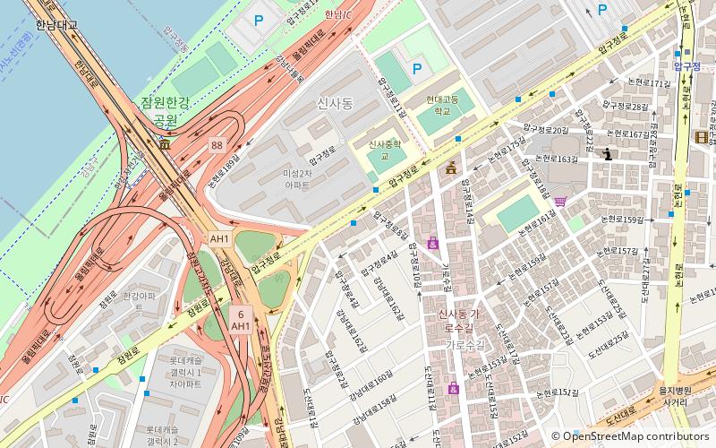
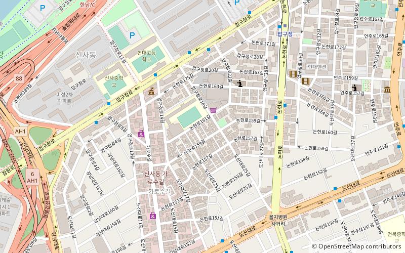
Sinsa-dong, Seoul
Map
Facts and practical information
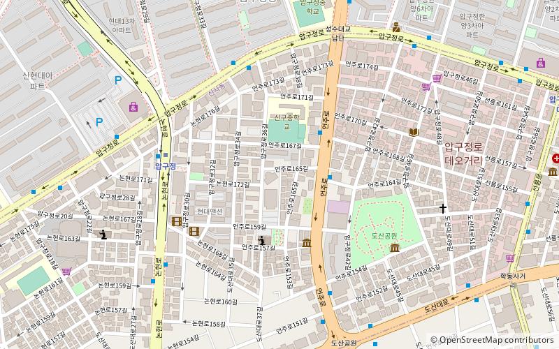
Sinsa-dong is a ward of Gangnam-gu in Seoul, South Korea. This district contains many department stores, hairshops, churches, boutiques, cafes and restaurants. ()
Getting there by public transportation
Public transportation stops near this location
- Metro
- Bus
- Train
 Metro
Metro
- Calculate routeSinsa Intersection, Garosu-gil 10 min walk
- Calculate routeSinsadong Hill 11 min walk
- Calculate routeSinsa Station 14 min walk
- Calculate routeSinsa 12 min walk
- Calculate routeApgujeong 13 min walk
- Calculate routeHannam 20 min walk
- Calculate route한남 20 min walk
- Calculate routeHak-dong 22 min walk
Maps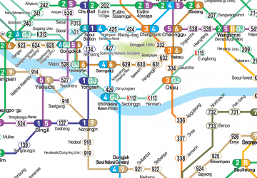 Metro
Metro
MetroDay trips


Frequently Asked Questions (FAQ)
Which popular attractions are close to Sinsa-dong?
Nearby attractions include Simone Handbag Museum, Seoul (7 min walk), Hannam Bridge, Seoul (15 min walk), Somang Presbyterian Church, Seoul (17 min walk), Coreana Cosmetic Museum, Seoul (18 min walk).
How to get to Sinsa-dong by public transport?
The nearest stations to Sinsa-dong:
Bus
Metro
Train
Bus
- Sinsa Intersection, Garosu-gil • Lines: 441, 542, 서초03 (10 min walk)
- Sinsadong Hill • Lines: 9202 (11 min walk)
Metro
- Sinsa • Lines: 3 (12 min walk)
- Apgujeong • Lines: 3 (13 min walk)
Train
- Hak-dong (22 min walk)