Yongdap-dong, Seoul
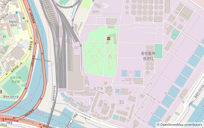
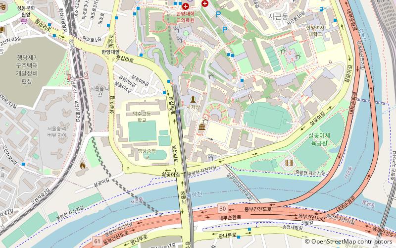
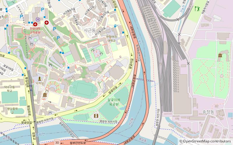
Map
Facts and practical information
Yongdap-dong is a dong, neighbourhood of Seongdong-gu in Seoul, South Korea. ()
Address
성동구 (용답동)Seoul
ContactAdd
Social media
Add
Day trips
Yongdap-dong – popular in the area (distance from the attraction)
Nearby attractions include: Seoul Forest, Star City Mall, Konkuk University Law School, Seongdong District.
Frequently Asked Questions (FAQ)
Which popular attractions are close to Yongdap-dong?
Nearby attractions include Sageun-dong, Seoul (18 min walk), Songjeong-dong, Seoul (18 min walk), Sejong University, Seoul (23 min walk).
How to get to Yongdap-dong by public transport?
The nearest stations to Yongdap-dong:
Bus
Metro
Train
Bus
- Hanyangyeodae Front • Lines: 2220 (11 min walk)
- Sageundonghaicheu Apt. Front • Lines: 2220 (16 min walk)
Metro
- 용답 • Lines: 2 (15 min walk)
- Yongdap • Lines: 2 (15 min walk)
Train
- Wangsimni (28 min walk)
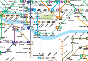 Metro
Metro
