Cheongpa-dong, Seoul
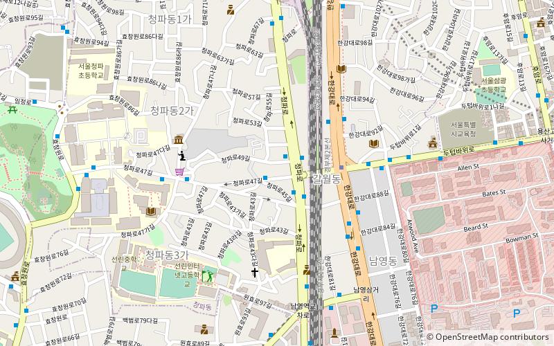
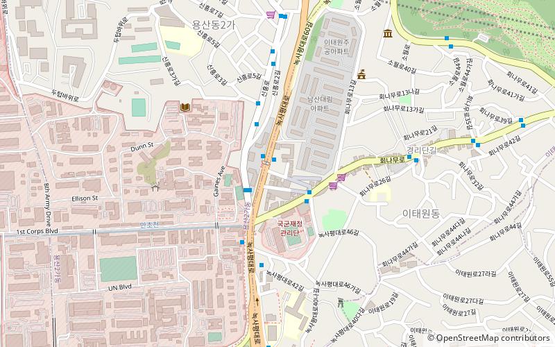
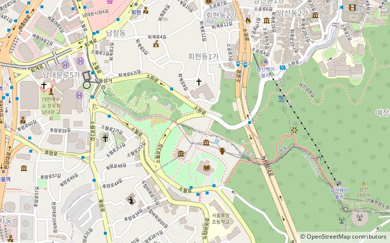
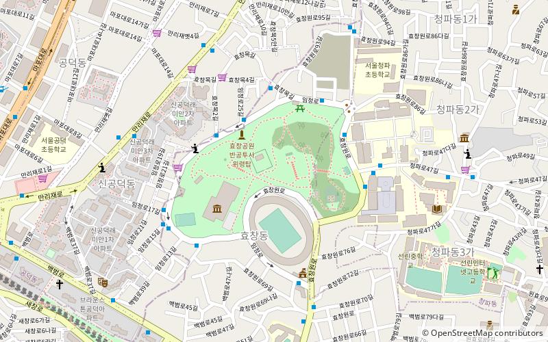
Map
Facts and practical information
Cheongpa-dong is a dong, neighbourhood of Yongsan-gu in Seoul, South Korea. ()
Address
용산구 (청파동)Seoul
ContactAdd
Social media
Add
Getting there by public transportation
Public transportation stops near this location
- Metro
- Bus
- Train
 Metro
Metro
- Calculate routeSookmyung Women's Univ. 3 min walk
- Calculate routeNamyeong 9 min walk
- Calculate route효창공원앞 16 min walk
- Calculate routeSukdae Entrance Station 5 min walk
- Calculate routeGalwoldong 11 min walk
- Calculate routeSeoul 17 min walk
- Calculate routeYongsan 27 min walk
Maps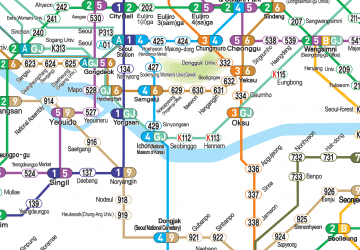 Metro
Metro
MetroDay trips


Frequently Asked Questions (FAQ)
Which popular attractions are close to Cheongpa-dong?
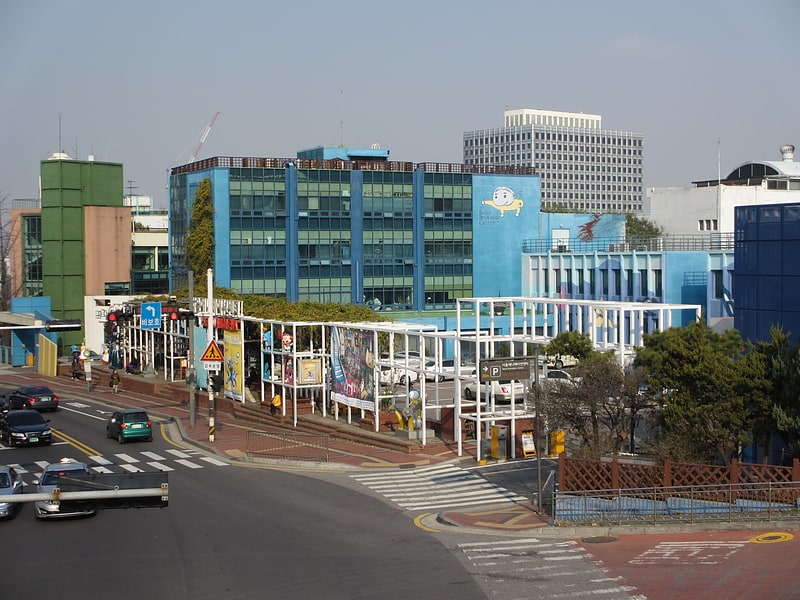
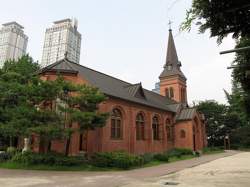
Nearby attractions include Namyeong-dong, Seoul (7 min walk), Sookmyung Women's University, Seoul (7 min walk), Hyochang Park, Seoul (13 min walk), Huam-dong, Seoul (15 min walk).
How to get to Cheongpa-dong by public transport?
The nearest stations to Cheongpa-dong:
Metro
Bus
Train
Metro
- Sookmyung Women's Univ. • Lines: 4 (3 min walk)
- Namyeong • Lines: 1 (9 min walk)
Bus
- Sukdae Entrance Station • Lines: 100, 150, 152, 421, 500, 501, 502, 504, 506, 507, 605, 750, 751, 752, N15 (5 min walk)
- Galwoldong • Lines: 100, 150, 152, 421, 500, 501, 502, 504, 505, 506, 507, 750, 751, 752, N15 (11 min walk)
Train
- Seoul (17 min walk)
- Yongsan (27 min walk)