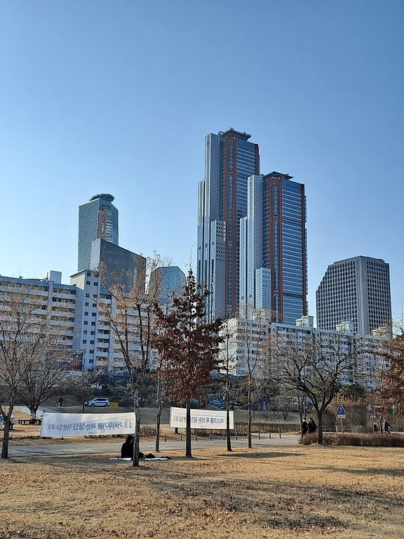
Seogang-dong, Seoul
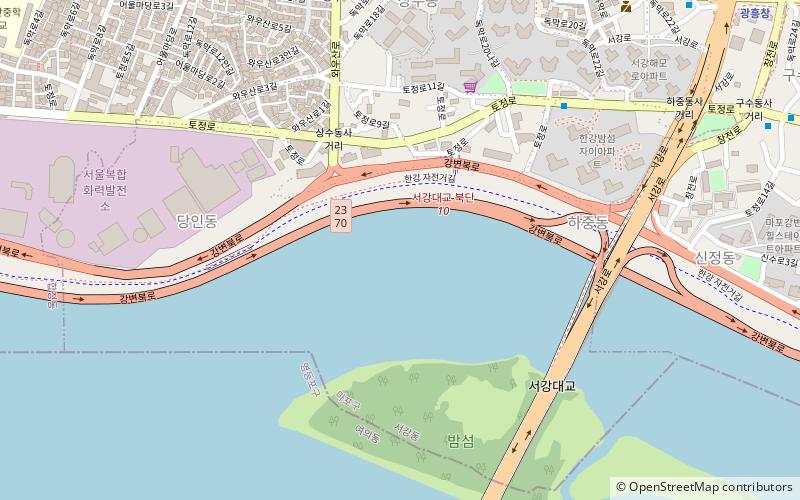
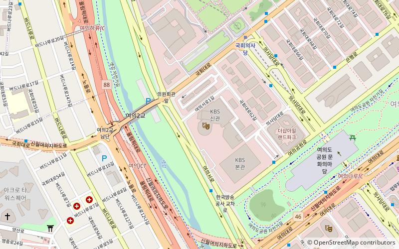
Map
Facts and practical information
Seogang-dong is a legal dong, neighbourhood of the Mapo-gu district in Seoul, South Korea. ()
Address
마포구 (서강동)Seoul
ContactAdd
Social media
Add
Getting there by public transportation
Public transportation stops near this location
- Metro
- Bus
- Train
 Metro
Metro
- Calculate route상수 9 min walk
- Calculate route광흥창 14 min walk
- Calculate routeHapjeong 19 min walk
- Calculate route합정 19 min walk
- Calculate routeSangsu 9 min walk
- Calculate routeSangsu Station 10 min walk
- Calculate routeFar Eest Broadcasting Co. Korea 12 min walk
- Calculate routeSeoul Thermal Plant 13 min walk
- Calculate routeGwangheungchang Station.Seogang-dong Community Service Center 14 min walk
Maps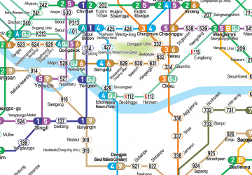 Metro
Metro
MetroDay trips


Frequently Asked Questions (FAQ)
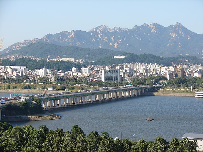
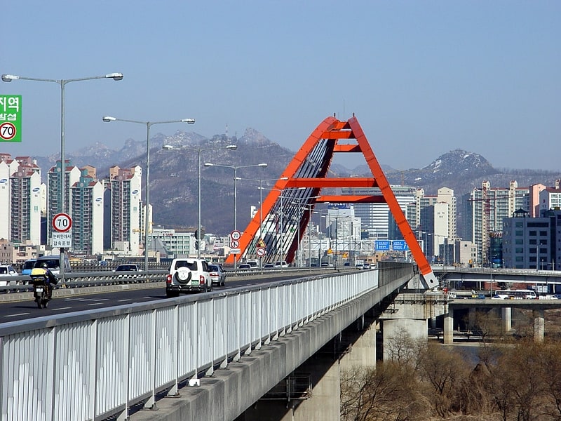
Which popular attractions are close to Seogang-dong?
Nearby attractions include Seogang Bridge, Seoul (10 min walk), Hongik University, Seoul (14 min walk), Changjeon-dong, Seoul (16 min walk), Seogyo-dong, Seoul (17 min walk).
How to get to Seogang-dong by public transport?
The nearest stations to Seogang-dong:
Metro
Train
Bus
Metro
- 상수 • Lines: 6 (9 min walk)
- 광흥창 • Lines: 6 (14 min walk)
Train
- Sangsu (9 min walk)
Bus
- Sangsu Station • Lines: 7011 (10 min walk)
- Far Eest Broadcasting Co. Korea • Lines: 7011 (12 min walk)