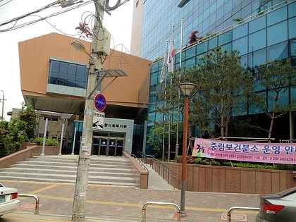
Hyochang-dong, Seoul
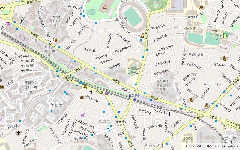
Map
Facts and practical information
Hyochang-dong is a ward of Yongsan-gu in Seoul, South Korea. ()
Day trips
Hyochang-dong – popular in the area (distance from the attraction)
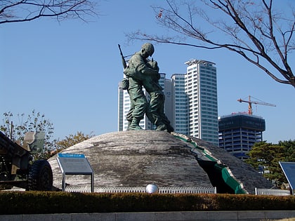
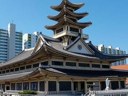
Nearby attractions include: War Memorial of Korea, Statue of Brothers, Saenamteo, Kim Koo Museum.
Frequently Asked Questions (FAQ)
Which popular attractions are close to Hyochang-dong?
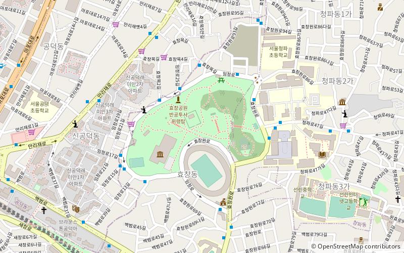
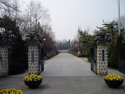
Nearby attractions include Kim Koo Museum, Seoul (8 min walk), Hyochang Park, Seoul (9 min walk), Yongmun-dong, Seoul (10 min walk), Sookmyung Women's University, Seoul (12 min walk).
How to get to Hyochang-dong by public transport?
The nearest stations to Hyochang-dong:
Metro
Bus
Train
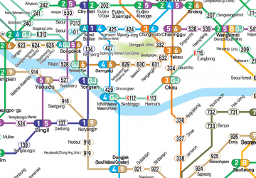
Metro
- 효창공원앞 • Lines: 6, G·j (5 min walk)
- 공덕 • Lines: 5, 6 (15 min walk)
Bus
- Gongdeok Station, Gongdeok Market • Lines: 463 (13 min walk)
- Sukdae Entrance Station • Lines: 100, 150, 152, 421, 500, 501, 502, 504, 506, 507, 605, 750, 751, 752, N15 (18 min walk)
Train
- Yongsan (19 min walk)
- Seoul (30 min walk)
 Metro
Metro
