Cerro Tio Pio Parco Siete Tetas, Madrid
Map
Gallery

Facts and practical information
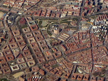
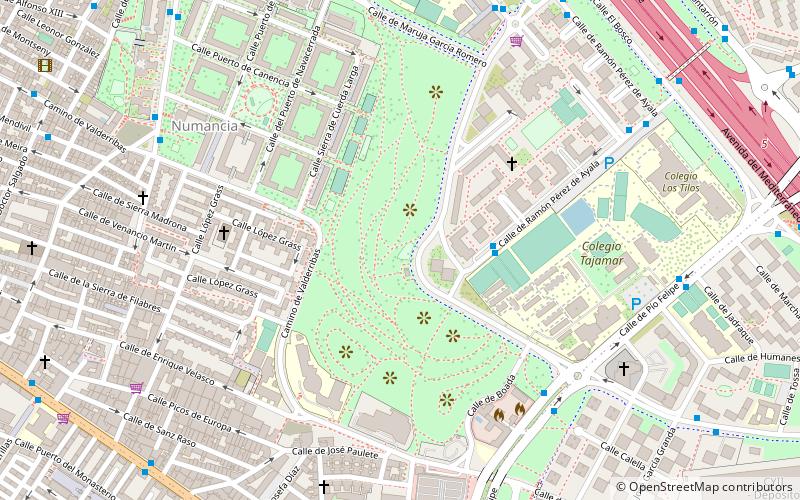
Cerro del Tío Pío Park is a park in Madrid located in the neighborhood of Numancia, in the district of Puente de Vallecas. It is located between the Colonia de Fontarrón, Colonia de Santa Ana and Colonia de los taxistas. It is commonly known by the name of Parque de las Siete Tetas or also as the tits of Vallecas because of the shape of its hills. It is one of the best places in the city to see the sunset and from any of its hills you can see a large part of the city.
Address
C. Ramón Pérez de AyalaPuente de Vallecas (Numancia)Madrid
ContactAdd
Social media
Add
Day trips
Cerro Tio Pio Parco Siete Tetas – popular in the area (distance from the attraction)
Nearby attractions include: Estadio de Vallecas, Platform 0, Mercado de Pacífico, Retiro.
Frequently Asked Questions (FAQ)
Which popular attractions are close to Cerro Tio Pio Parco Siete Tetas?
Nearby attractions include Estadio de Vallecas, Madrid (11 min walk), Fontarrón, Madrid (13 min walk), Portazgo, Madrid (15 min walk), Puente de Vallecas, Madrid (19 min walk).
How to get to Cerro Tio Pio Parco Siete Tetas by public transport?
The nearest stations to Cerro Tio Pio Parco Siete Tetas:
Bus
Metro
Train
Bus
- Ramón Pérez de Ayala - Benjamín Palencia • Lines: 141 (3 min walk)
- Pío Felipe - Benjamín Palencia • Lines: 141, 143, 54, N10 (7 min walk)
Metro
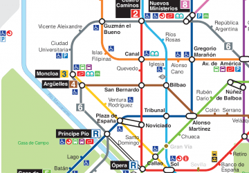
- Portazgo • Lines: L1 (10 min walk)
- Buenos Aires • Lines: L1 (11 min walk)
Train
- Asamblea de Madrid-Entrevías (33 min walk)
- Estación de Mercancías Madrid - Abroñigal (34 min walk)

 Metro
Metro
