Pont de Fusta, Valencia

Facts and practical information
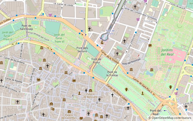
The Pont de Fusta was a footbridge for pedestrians in the city of Valencia that crossed the old bed of the Turia River until the flood of 1957. It was located in parallel between two of the most emblematic bridges of the city: the Serranos Bridge to the west and the Trinity Bridge to the east. It has now been replaced by a bridge for vehicles.
It connects to the north with the district of La Saïdia, specifically the neighbourhoods of Morvedre and Trinitat, and to the south with the district of Ciutat Vella, with the neighbourhoods of El Carmen and La Seu. On the left bank of the old riverbed it connects the streets Cronista Rivelles, Trinitat and Santa Amalia with the streets Conde de Trénor and Muro de Santa Ana on the right bank.
Cronista RivellesLa Saïdia (Trinitat)Valencia
Pont de Fusta – popular in the area (distance from the attraction)
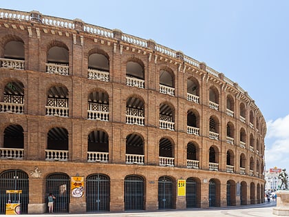
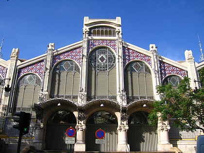
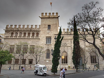
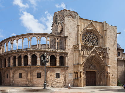
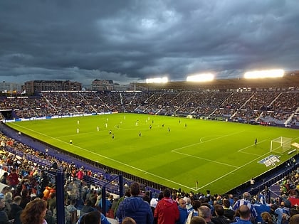
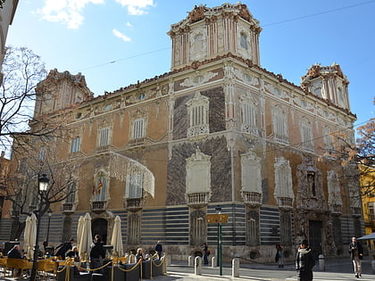
Nearby attractions include: Plaza de Toros de Valencia, Mercado Central, Lonja de la Seda, Museu de Ciències Naturals.
Frequently Asked Questions (FAQ)
Which popular attractions are close to Pont de Fusta?
How to get to Pont de Fusta by public transport?
Bus
- Cronista Rivelles - Santa Amàlia • Lines: 16, 26, 6, 79, 94, 95 (2 min walk)
- Comte de Trénor - Pont de Fusta • Lines: 11, 16, 26, 6, 80, 94, N10 (3 min walk)
Tram
- Pont de Fusta • Lines: 4 (5 min walk)
- Sagunt • Lines: 4 (12 min walk)
Metro
- Alameda • Lines: 3, 5, 7, 9 (17 min walk)
- Facultats • Lines: 3, 9 (17 min walk)
Train
- North Station (25 min walk)

