Plaza de España, Madrid
Map
Gallery
Facts and practical information
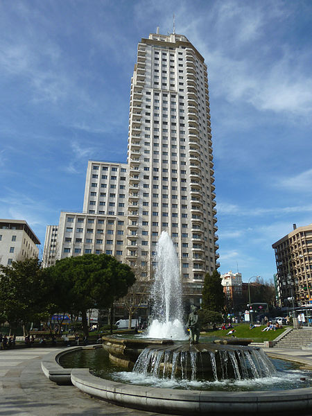
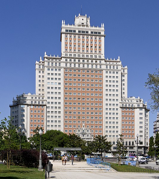
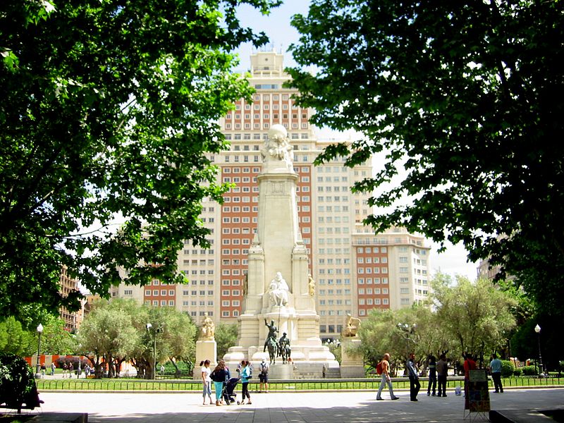
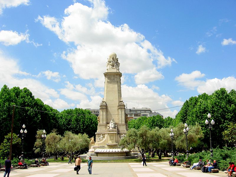
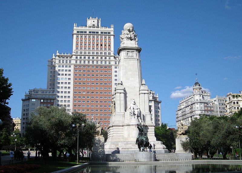
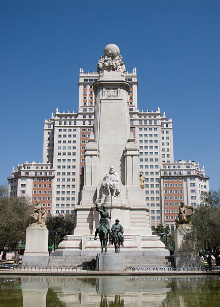
Plaza de España is a large square and popular tourist destination located in central Madrid, Spain at the western end of the Gran Vía. It features a monument to Miguel de Cervantes Saavedra and is adjacent to two of Madrid's most prominent skyscrapers. Additionally, the Palacio Real is only a short walk south from the plaza. After a two and a half years of renovation, on 22 November 2021, the square was reopened for pedestrians. ()
Day trips
Plaza de España – popular in the area (distance from the attraction)
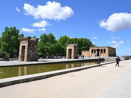
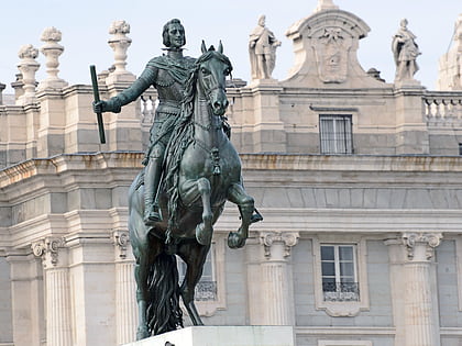
Nearby attractions include: Palacio Real, Templo de Debod, Monument to Miguel de Cervantes, Puerta de San Vicente.
Frequently Asked Questions (FAQ)
Which popular attractions are close to Plaza de España?
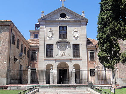
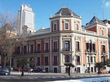
Nearby attractions include Casa Gallardo, Madrid (2 min walk), Parroquia de Santa Teresa y San José, Madrid (2 min walk), Monument to Miguel de Cervantes, Madrid (2 min walk), Cerralbo Museum, Madrid (3 min walk).
How to get to Plaza de España by public transport?
The nearest stations to Plaza de España:
Bus
Metro
Train
Bus
- Jardines de Sabatini • Lines: 138, 25, 39, 46, 62, 75, C1, N18, N19, N20 (2 min walk)
- Cta. San Vicente - Cadarso • Lines: 138, 25, 39, 46, 62, 75, C2, N18, N19, N20 (3 min walk)
Metro
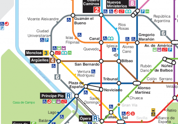
- Plaza de España • Lines: L10, L3 (5 min walk)
- Ventura Rodríguez • Lines: L3 (8 min walk)
Train
- Príncipe Pío (8 min walk)
- Sol (18 min walk)



 Metro
Metro


