Morral de Cabrafeixet
Map

Map

Facts and practical information
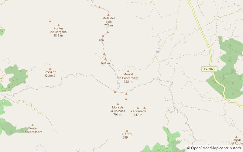
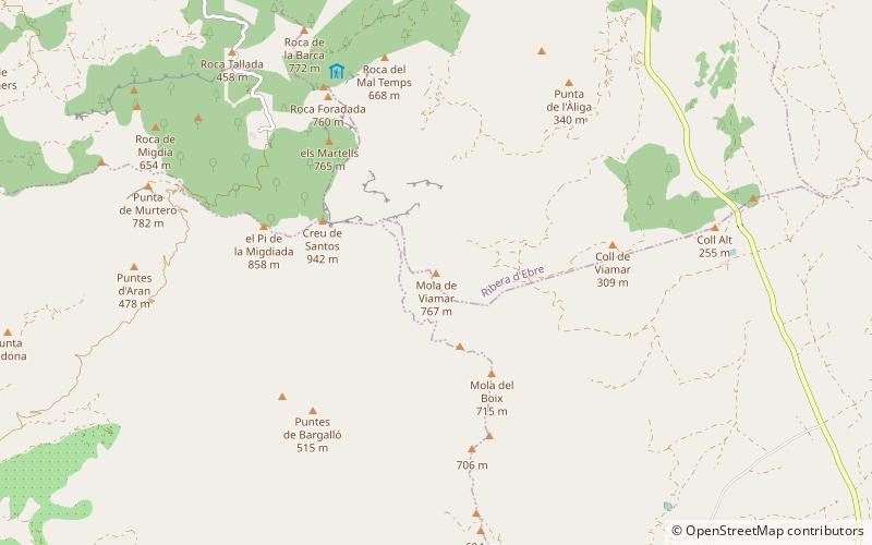
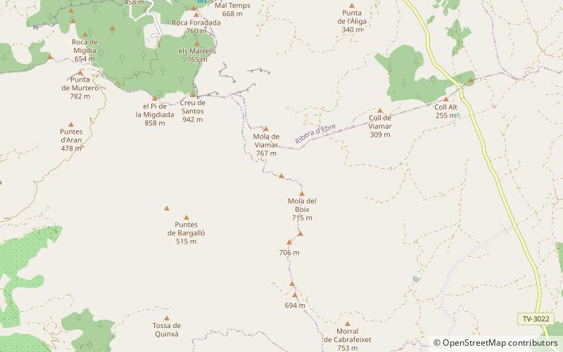
Morral de Cabrafeixet is one of the highest mountains of the Cardó Massif, Catalan Pre-Coastal Range, Catalonia, Spain. Its NW side has an impressive escarpment visible from Highway N-340 approaching El Perelló from the north. This mountain has an elevation of 753 metres above sea level. ()
Elevation: 2472 ftCoordinates: 40°53'47"N, 0°37'16"E
Location
Catalonia
ContactAdd
Social media
Add
Day trips
Morral de Cabrafeixet – popular in the area (distance from the attraction)
Nearby attractions include: Creu de Santos, Buinaca, Tossa de Viamar, Punta del Pollo.


