Sant Andreu, Barcelona
Map
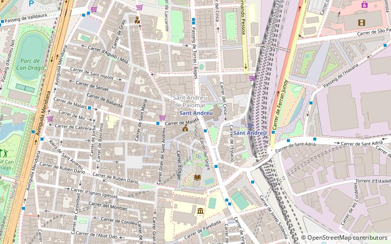
Map

Facts and practical information
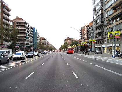
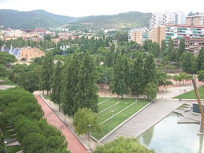
Sant Andreu is one of the ten districts of Barcelona since its redistricting in 1984. It was named after the former municipality of Sant Andreu de Palomar, which was the largest in the area and now makes up the bulk of the neighbourhood bearing its name, as well as part of the neighboring district of Nou Barris. ()
Address
Sant AndreuBarcelona
ContactAdd
Social media
Add
Day trips
Sant Andreu – popular in the area (distance from the attraction)
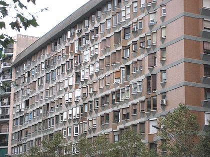
Nearby attractions include: Avinguda Meridiana, Museo Torre Balldovina, Casa Bloc, Plaça de la República.
Frequently Asked Questions (FAQ)
Which popular attractions are close to Sant Andreu?
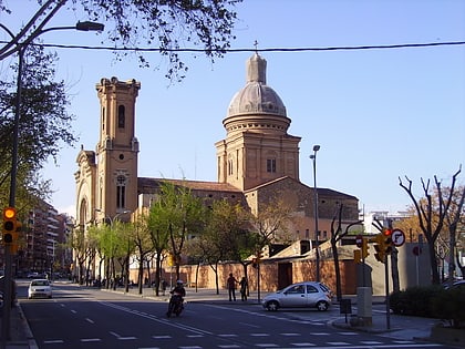
Nearby attractions include Sant Andreu de Palomar, Barcelona (2 min walk), Casa Bloc, Barcelona (10 min walk), La Prosperitat, Barcelona (19 min walk), Porta, Barcelona (21 min walk).
How to get to Sant Andreu by public transport?
The nearest stations to Sant Andreu:
Bus
Metro
Train
Tram
Bus
- Segre - Pl Orfila • Lines: 126 (1 min walk)
- Pg Torras i Bages - Joan Torras • Lines: 126, H4, N9, V31 (2 min walk)
Metro
- Sant Andreu • Lines: L1 (1 min walk)
- Onze de Setembre • Lines: L10, L9 Nord (12 min walk)
Train
- Sant Andreu Comtal (4 min walk)
- Sant Andreu Arenal (14 min walk)
Tram
- Besòs • Lines: T5, T6 (38 min walk)
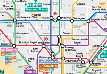 Metro
Metro