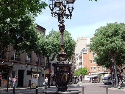
Avinguda Meridiana, Barcelona
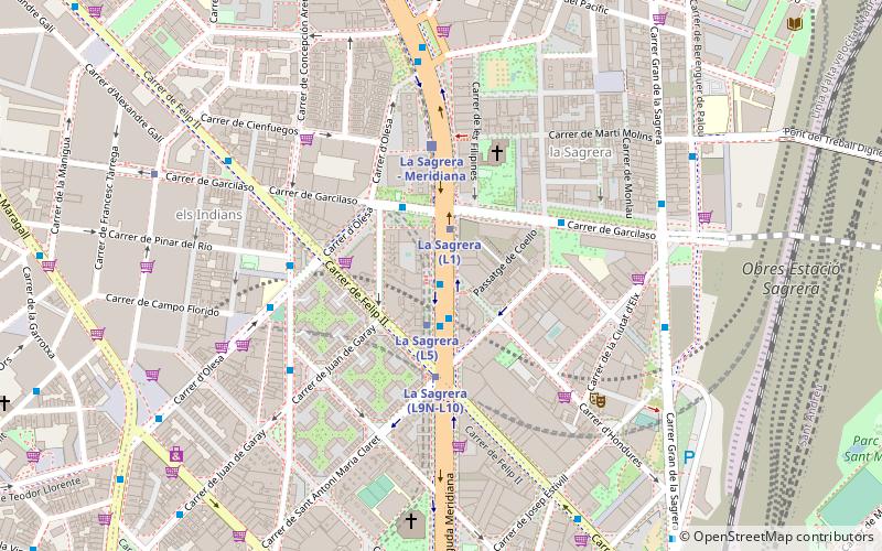
Facts and practical information
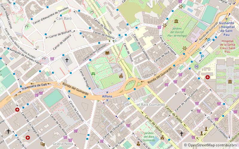
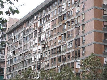
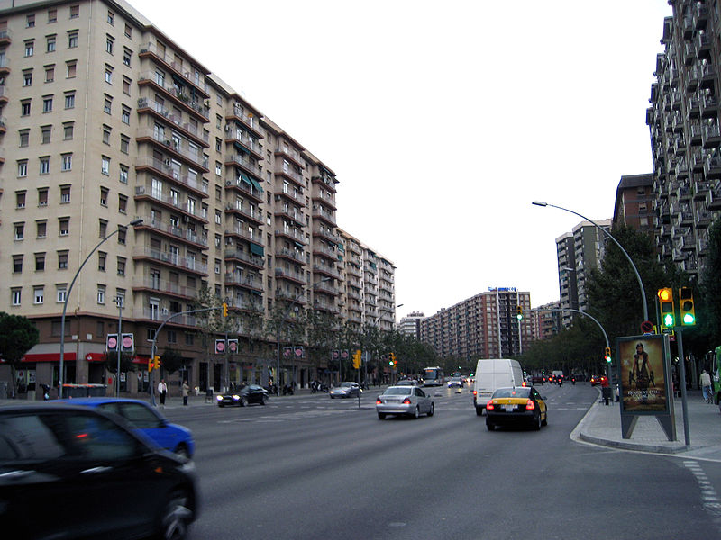
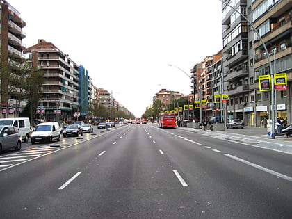
Avinguda Meridiana is a major avenue in Barcelona, Catalonia, Spain, spanning parts of the Sant Andreu, Nou Barris and Sant Martí northern districts of the city. Originally planned by Ildefons Cerdà in 1859 to be one of the two most important thoroughfares in Barcelona, its actual role has not been exactly so but still has become a much transited route linking Parc de la Ciutadella with northern parts of Barcelona, crossing Plaça de les Glòries in its way, where it meets other two major avenues: Gran Via de les Corts Catalanes and Avinguda Diagonal. It absorbs the traffic coming from the AP-7 motorway, which makes it a densely transited area. The avenue goes through the following neighbourhoods of Barcelona: El Clot, Navas, La Sagrera, Sant Andreu de Palomar, El Congrés i els Indians, Vilapicina, Porta, La Prosperitat, La Trinitat Nova, Trinitat Vella and Vallbona, largely working-class areas of the city. ()
Sant Andreu (La Sagrera)Barcelona
Avinguda Meridiana – popular in the area (distance from the attraction)
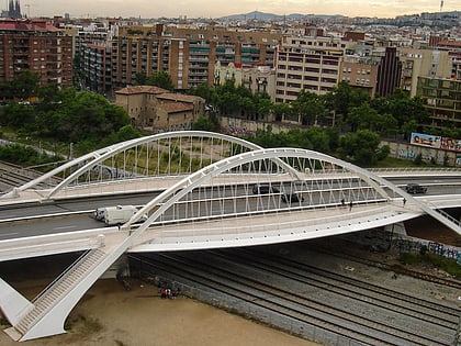
Nearby attractions include: Bac de Roda Bridge, Horta-Guinardó, Plaça de la República, Sagrada Família.
Frequently Asked Questions (FAQ)
Which popular attractions are close to Avinguda Meridiana?
How to get to Avinguda Meridiana by public transport?
Bus
- Meridiana - La Sagrera • Lines: 302, 303, 305, 320, 321, 62, 96, e1, e10, e12, e2.1, e21, e3, e4, e7, e9, H8, N3, V27 (1 min walk)
- Avinguda Meridiana / Felip II • Lines: 332, e10, e12, e21, e3, e4, e7, e9 (2 min walk)
Metro
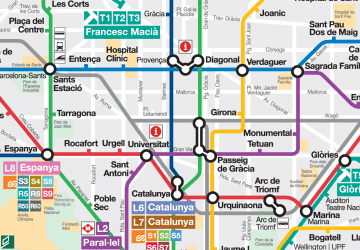
- La Sagrera • Lines: L1, L10, L5, L9 Nord (1 min walk)
- Congrés • Lines: L5 (8 min walk)
Train
- La Sagrera - Meridiana (4 min walk)
- Sant Andreu Arenal (17 min walk)
Tram
- Espronceda • Lines: T5, T6 (24 min walk)
- Sant Martí de Provençals • Lines: T5, T6 (26 min walk)
 Metro
Metro