Platja Es Pinet, Ibiza

Map
Facts and practical information
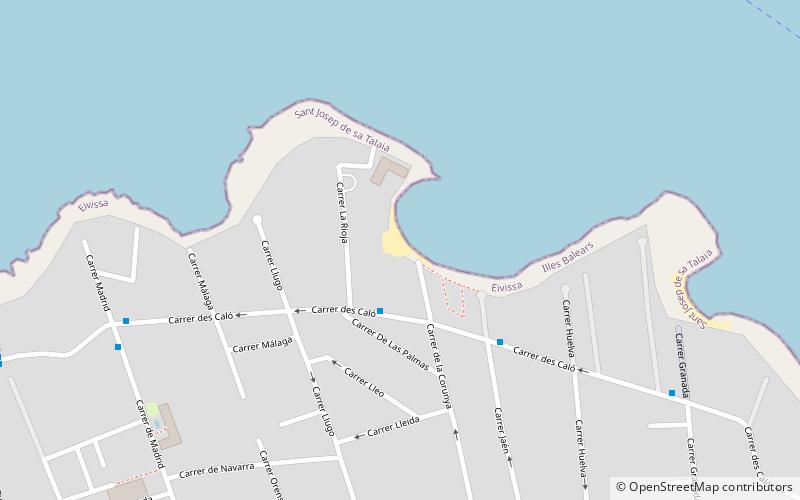
Platja Es Pinet is in a small cove within the bay of Sant Antoni Bay. The beach is on the northern seaboard of the Spanish island of Ibiza. Although it is but a short distance from Sant Antoni, It is in the municipality of Sant Josep de sa Talaia. Platja Es Pinet is 11.9 miles north west of Ibiza town, and 2.9 miles west around the bay from Sant Antoni.In 2012 Platja Es Pinet is one of the 12 blue flag beaches on the island. The beach sand is soft and the water is safe, clean, and shallow. ()
Address
Ibiza
ContactAdd
Social media
Add
Day trips
Platja Es Pinet – popular in the area (distance from the attraction)
Nearby attractions include: Egg of Columbus, West End, Café Mambo, Platja Port d'es Torrent.
Frequently Asked Questions (FAQ)
How to get to Platja Es Pinet by public transport?
The nearest stations to Platja Es Pinet:
Bus
Bus
- H. Riviera • Lines: Bus L05, L02, L04, L05, L06, L07, L09 (8 min walk)
- H. San Diego • Lines: L02, L04, L05, L06, L07, L09 (9 min walk)


