Anfi beach, Puerto Rico de Gran Canaria
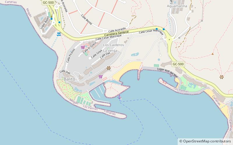
Map

Map

Facts and practical information
Anfi beach is a place located in Puerto Rico de Gran Canaria (Canary Islands autonomous community) and belongs to the category of beach.
It is situated at an altitude of 49 feet, and its geographical coordinates are 27°46'21"N latitude and 15°41'48"W longitude.
Among other places and attractions worth visiting in the area are: Angry Birds Activity Park (amusement, 36 min walk), Lopesan Meloneras Golf, Playa del Inglés (golf, 130 min walk), Puerto de Mogán (locality, 132 min walk).
Coordinates: 27°46'21"N, 15°41'48"W
Address
Puerto Rico de Gran Canaria
ContactAdd
Social media
Add
Day trips
Anfi beach – popular in the area (distance from the attraction)
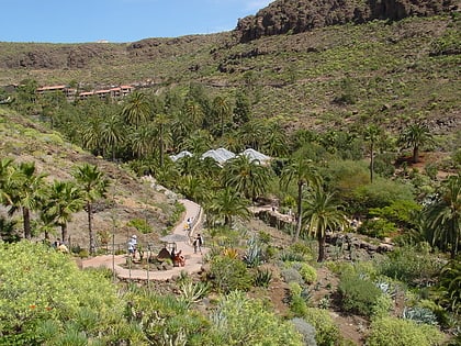
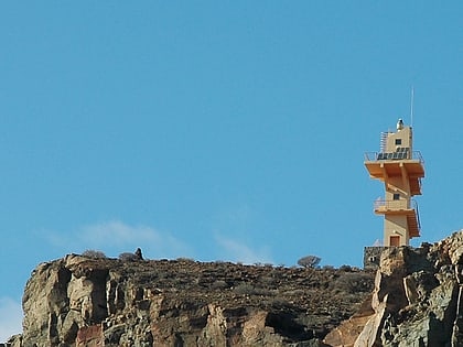
Nearby attractions include: Palmitos Park, Punta del Castillete Lighthouse, Angry Birds Activity Park, Puerto de Mogán.


