Lopesan Meloneras Golf, Playa del Inglés
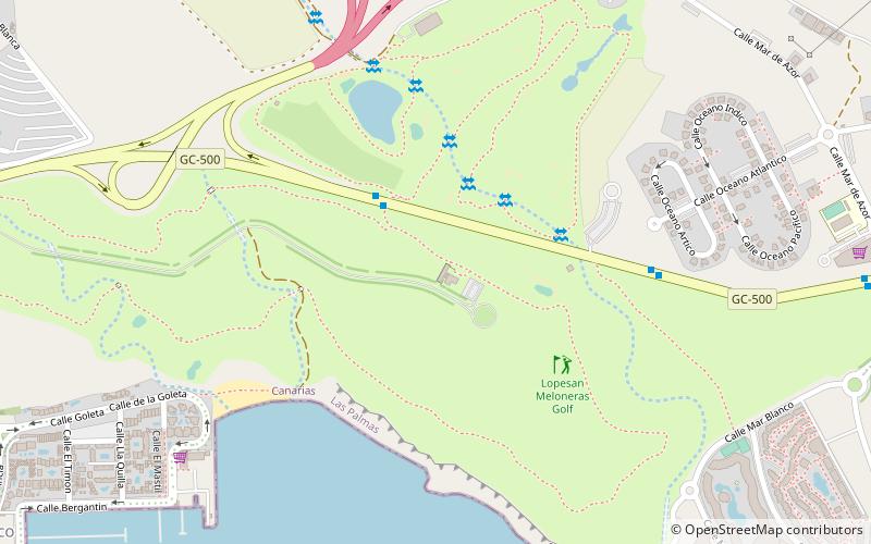
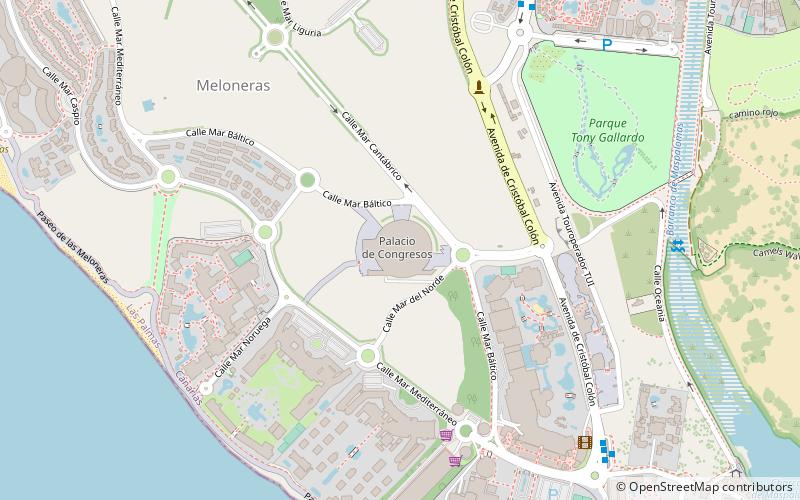
Map

Map

Facts and practical information
Lopesan Meloneras Golf is a place located in Playa del Inglés (Canary Islands autonomous community) and belongs to the category of golf.
It is situated at an altitude of 161 feet, and its geographical coordinates are 27°45'4"N latitude and 15°37'2"W longitude.
Among other places and attractions worth visiting in the area are: Palacio de Congresos de Maspalomas, Gran Canaria (sport, 28 min walk), Meloneras (locality, 34 min walk), Maspalomas Lighthouse, Maspalomas (museum, 41 min walk).
Coordinates: 27°45'4"N, 15°37'2"W
Day trips
Lopesan Meloneras Golf – popular in the area (distance from the attraction)
Nearby attractions include: Maspalomas Lighthouse, Yumbo Centrum, Aqualand Maspalomas, Centro Comercial Kasbah.


