Playa de El Chinarral, Algeciras
Map

Map

Facts and practical information
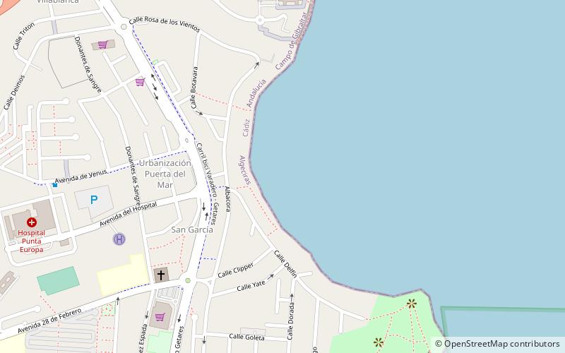
Playa de El Chinarral is a beach in the municipality of Algeciras, southeastern Spain. It overlooks the Bay of Algeciras and the tip of the rock of Gibraltar. It is approximately 250 metres in length and 40 metres wide on average. It is located between Punta de San Garcia and El Rodeo, south of the city. ()
Address
Algeciras
ContactAdd
Social media
Add
Day trips
Playa de El Chinarral – popular in the area (distance from the attraction)
Nearby attractions include: Municipal Museum of Algeciras, Parque del Centenario, Isla Verde Lighthouse, Teatro Florida.
Frequently Asked Questions (FAQ)
Which popular attractions are close to Playa de El Chinarral?
Nearby attractions include Parque del Centenario, Algeciras (9 min walk), Torre de San Garcia, Algeciras (10 min walk), Isla Verde Lighthouse, Algeciras (20 min walk).
How to get to Playa de El Chinarral by public transport?
The nearest stations to Playa de El Chinarral:
Bus
Train
Bus
- Estación de Autobuses San Bernardo (29 min walk)
- Bus no 3 to Rincolln beach • Lines: 1 (31 min walk)
Train
- Algeciras (32 min walk)


