Ayuntamiento de Palencia, Palencia
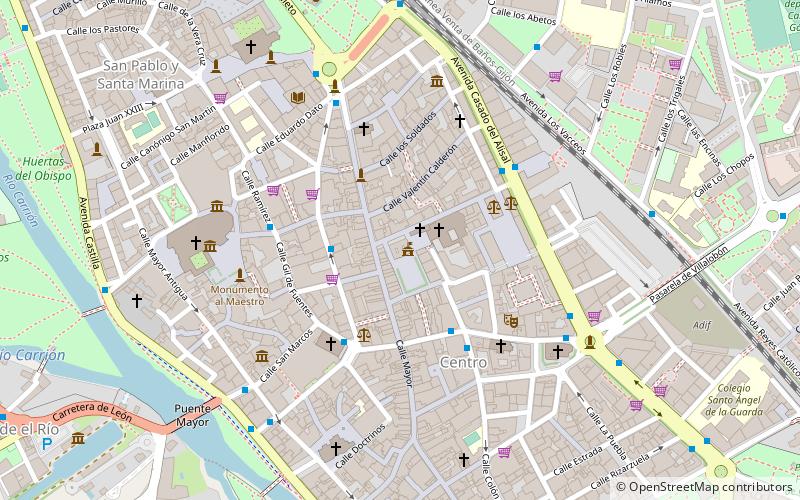
Map
Map

Facts and practical information
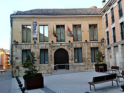
The City Council of Palencia is the institution in charge of the government of the city and municipality of Palencia, capital of the Province of Palencia,.
The consistory is presided over by the mayor of Palencia, who has been democratically elected by universal suffrage since 1979. Mario Simón Martín, from Ciudadanos, currently holds this position.
After the municipal elections of 2019, the Ciudadanos and Partido Popular parties govern in coalition.
Coordinates: 42°0'40"N, 4°31'59"W
Day trips
Ayuntamiento de Palencia – popular in the area (distance from the attraction)
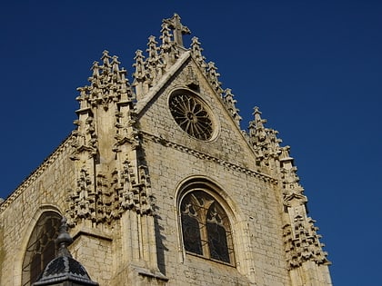
Nearby attractions include: Palencia Cathedral, Cristo del Otero, Church of San Miguel, Archaeological Museum.
Frequently Asked Questions (FAQ)
Which popular attractions are close to Ayuntamiento de Palencia?
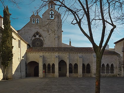
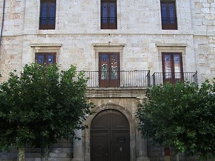
Nearby attractions include Calle Mayor, Palencia (1 min walk), St. Francis Church, Palencia (2 min walk), Diputación de Palencia, Palencia (3 min walk), Calle Mayor, Palencia (4 min walk).
How to get to Ayuntamiento de Palencia by public transport?
The nearest stations to Ayuntamiento de Palencia:
Bus
Train
Bus
- C/ Menéndez Pelayo • Lines: L1 (2 min walk)
- C/ Don Sancho • Lines: L1 (3 min walk)
Train
- Palencia (9 min walk)


