Jardinillos de la Estación, Palencia
Map
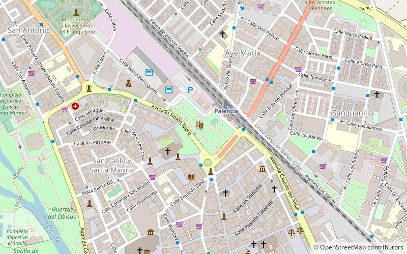
Map

Facts and practical information
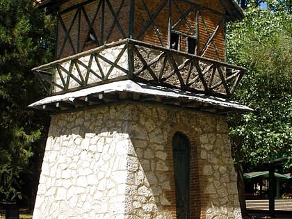
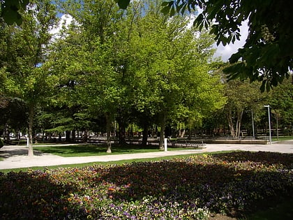
Jardinillos de la Estación is a park in the city of Palencia. Better known by the people of Palencia simply as Jardinillos, it was inaugurated in 1875 along with the North Station and was created to provide a dignified gateway to the city.
Elevation: 2428 ft a.s.l.Coordinates: 42°0'54"N, 4°32'5"W
Address
Palencia
ContactAdd
Social media
Add
Day trips
Jardinillos de la Estación – popular in the area (distance from the attraction)
Nearby attractions include: Palencia Cathedral, Cristo del Otero, Church of San Miguel, Archaeological Museum.
Frequently Asked Questions (FAQ)
Which popular attractions are close to Jardinillos de la Estación?
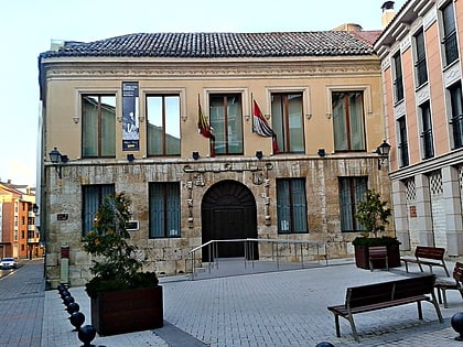
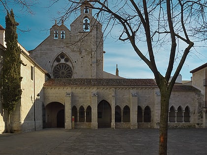
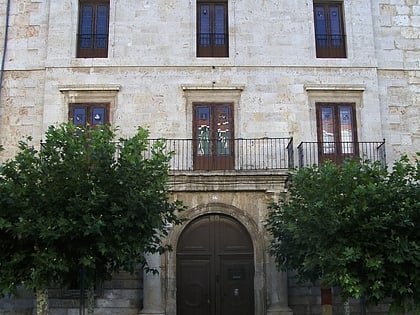
Nearby attractions include Convento de San Pablo, Palencia (2 min walk), Ayuntamiento de Palencia, Palencia (8 min walk), St. Francis Church, Palencia (8 min walk), Palencia Cathedral, Palencia (8 min walk).
How to get to Jardinillos de la Estación by public transport?
The nearest stations to Jardinillos de la Estación:
Train
Bus
Train
- Palencia (2 min walk)
Bus
- Avda. Casado del Alisal • Lines: 5, L2 (3 min walk)
- Plaza de León • Lines: 5, L1, L2 (3 min walk)
