Museo Etnografico Tanit, San Bartolomé
Map
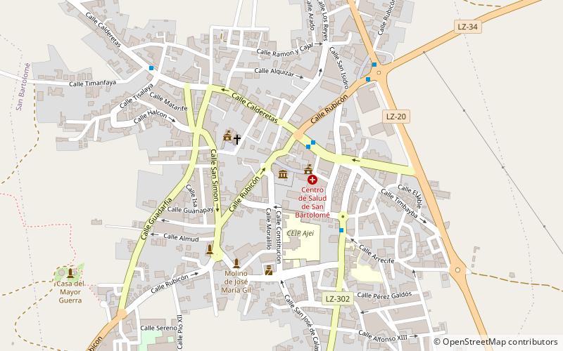
Map

Facts and practical information
Museo Etnografico Tanit (address: Calle Constitución, 1) is a place located in San Bartolomé (Canary Islands autonomous community) and belongs to the category of top attraction, history museum, museum.
It is situated at an altitude of 896 feet, and its geographical coordinates are 29°0'2"N latitude and 13°36'44"W longitude.
Among other places and attractions worth visiting in the area are: Tahíche (locality, 100 min walk), Ayuntamiento de Tias, Tías (city hall, 107 min walk), Ciudad Deportiva de Lanzarote, Lanzarote (sport venue, 108 min walk).
Coordinates: 29°0'2"N, 13°36'44"W
Day trips
Museo Etnografico Tanit – popular in the area (distance from the attraction)
Nearby attractions include: Castillo de San José, San Ginés, Lagomar Museum, Tinajo.

