Tinajo, Lanzarote

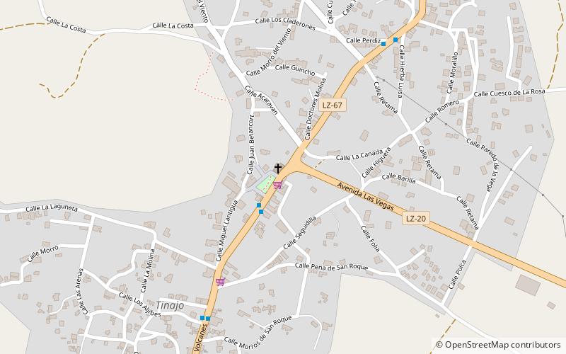
Map
Facts and practical information
Tinajo is a place in the municipality with the same name Tinajo in the western portion of the island of Lanzarote in the Las Palmas province in the Canary Islands. The population is 2,809. ()
Coordinates: 29°3'60"N, 13°40'35"W
Day trips
Tinajo – popular in the area (distance from the attraction)
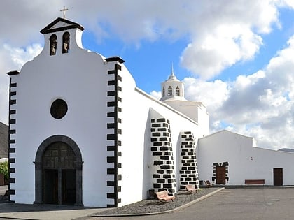
Nearby attractions include: Museo Etnografico Tanit, Ermita de los Dolores, Parque Natural de Los Volcanes, Tinajo.
Frequently Asked Questions (FAQ)
How to get to Tinajo by public transport?
The nearest stations to Tinajo:
Bus
Bus
- La Plaza De Tinajo • Lines: 15, 16, 52, 53 (2 min walk)
- Cine De Tinajo • Lines: 15, 16, 52, 53 (8 min walk)


