Sierra de Orihuela, Orihuela
Map

Map

Facts and practical information
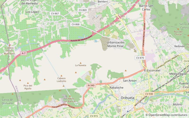
Sierra de Orihuela is a 9.4 km long mountain range in the Vega Baja del Segura comarca, Valencian Community, Spain. Its highest point is Peña de Orihuela. This range is named after the town of Orihuela, located at the feet of the mountains. The western end of the range is within the limits of the Santomera municipal term, in the Region of Murcia. ()
Address
Orihuela
ContactAdd
Social media
Add
Day trips
Sierra de Orihuela – popular in the area (distance from the attraction)
Nearby attractions include: Orihuela Cathedral, San Martin, Callosa de Segura, Teatro Pujante.


