Plaça de Tetuan, Barcelona
Map
Map

Facts and practical information
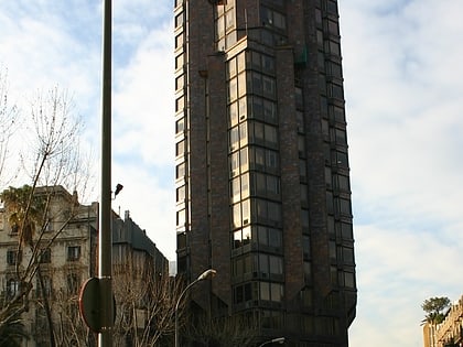
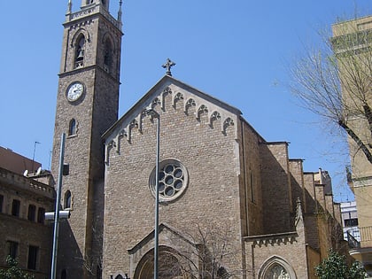
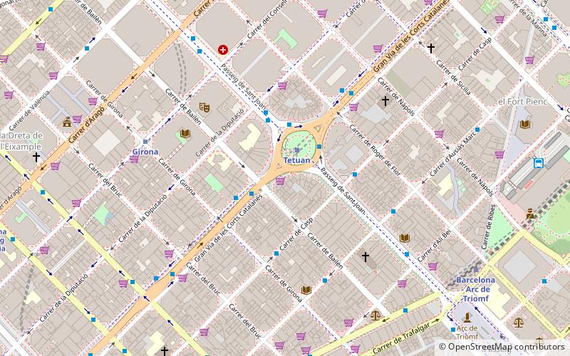
Plaça de Tetuan, known in Spanish as Plaza de Tetuán, is a major square in Barcelona. It is in Fort Pienc, in the central district of Eixample, at the busy intersection of Gran Via de les Corts Catalanes and Passeig de Sant Joan. The square is named after the 1860 Battle of Tétouan, the siege and occupation of the Moroccan city of Tetuan by general Joan Prim and Catalan volunteers. It was formerly called Hermenegildo Giner de los Ríos. ()
Day trips
Plaça de Tetuan – popular in the area (distance from the attraction)
Nearby attractions include: Casa Batlló, Palau de la Música Catalana, Arc de Triomf, Estació del Nord.
Frequently Asked Questions (FAQ)
Which popular attractions are close to Plaça de Tetuan?
Nearby attractions include Fundació Vila Casas, Barcelona (6 min walk), Fundació Vila Casas, Barcelona (6 min walk), Carrer del Consell de Cent, Barcelona (7 min walk), Casa Calvet, Barcelona (7 min walk).
How to get to Plaça de Tetuan by public transport?
The nearest stations to Plaça de Tetuan:
Metro
Bus
Train
Tram
Metro
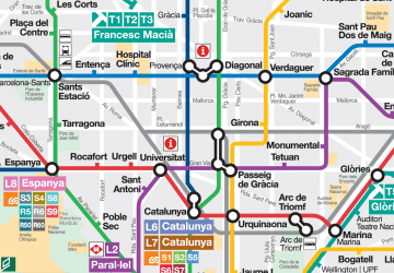
- Tetuan • Lines: L2 (2 min walk)
- Girona • Lines: L4 (6 min walk)
Bus
- Metro Tetuan • Lines: 54, 7, D50, H12, N1, N11, N2, N3, N9, X1 (2 min walk)
- Plaça Tetuan - Gran Via • Lines: C6, e11.1, e11.2, N2, N3, N81, N9 (2 min walk)
Train
- Barcelona - Passeig de Gràcia (12 min walk)
- Barcelona - Plaça Catalunya (14 min walk)
Tram
- Marina • Lines: T4 (16 min walk)
- Auditori/Teatre Nacional • Lines: T4 (17 min walk)

 Metro
Metro


