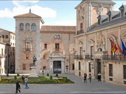
Plaza de la Villa, Madrid
Map
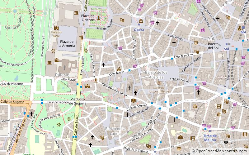
Map

Facts and practical information
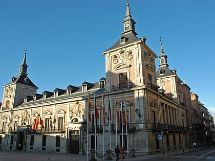
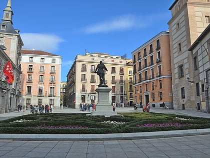
The plaza de la Villa is an urban square in central Madrid, Spain. The square, bordering the Calle Mayor, houses some of the oldest buildings still around in the city. ()
Address
Centro Madrid (Palacio)Madrid
ContactAdd
Social media
Add
Day trips
Plaza de la Villa – popular in the area (distance from the attraction)
Nearby attractions include: Palacio Real, Plaza Mayor, Almudena Cathedral, Real Armería.
Frequently Asked Questions (FAQ)
Which popular attractions are close to Plaza de la Villa?
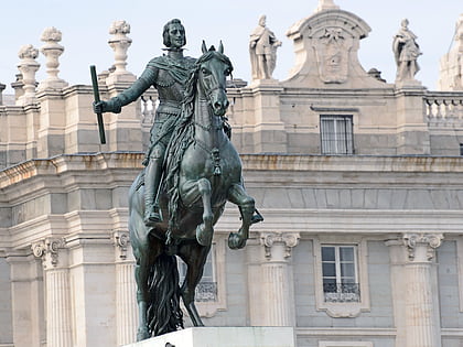
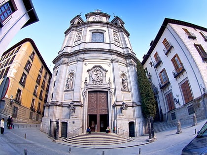
Nearby attractions include Monument to Álvaro de Bazán, Madrid (1 min walk), Casa de la Villa, Madrid (1 min walk), St Nicholas' Church, Madrid (1 min walk), Tablao Las Carboneras, Madrid (2 min walk).
How to get to Plaza de la Villa by public transport?
The nearest stations to Plaza de la Villa:
Bus
Metro
Train
Bus
- Segovia - Conde • Lines: 31, 50, 65 (3 min walk)
- Pza. Puerta Cerrada • Lines: 31, 50, 65 (4 min walk)
Metro
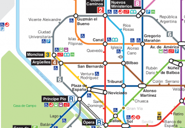
- Ópera • Lines: L2, L5, R (5 min walk)
- La Latina • Lines: L5 (8 min walk)
Train
- Sol (12 min walk)
- Príncipe Pío (16 min walk)
 Metro
Metro


