Playa Portús, Cartagena

Facts and practical information
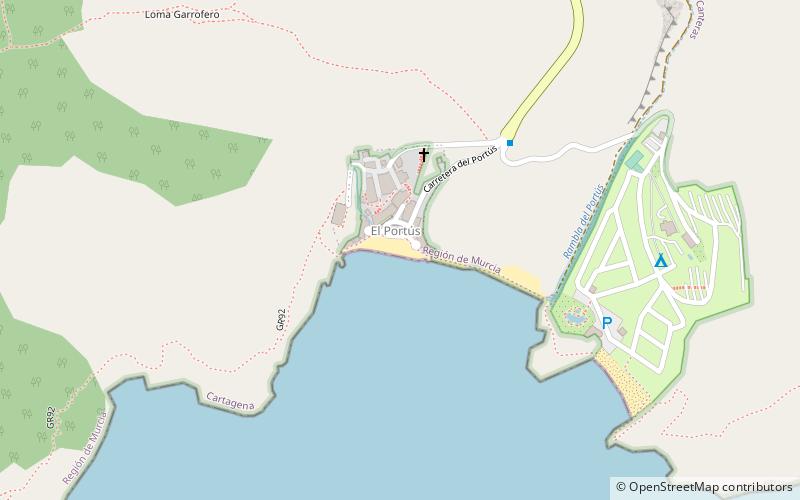
Playa Portús (address: Pasaje el Portus -Ds Perín, 3, 30393 El Portús) is a place located in Cartagena (Murcia autonomous community) and belongs to the category of beach.
It is situated at an altitude of 20 feet, and its geographical coordinates are 37°35'3"N latitude and 1°4'24"W longitude.
Planning a visit to this place, one can easily and conveniently get there by public transportation. Playa Portús is a short distance from the following public transport stations: El Portús (bus, 5 min walk).
Among other places and attractions worth visiting in the area are: Parque Rafael de la Cerda (amusement, 68 min walk), Parque Regional Sierra de la Muela (park, 86 min walk), Batería de Castillitos (ruins, 102 min walk).
Pasaje el Portus -Ds Perín, 3, 30393 El PortúsCartagena
Playa Portús – popular in the area (distance from the attraction)
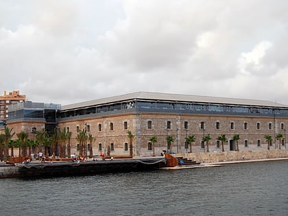
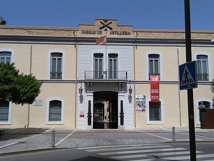
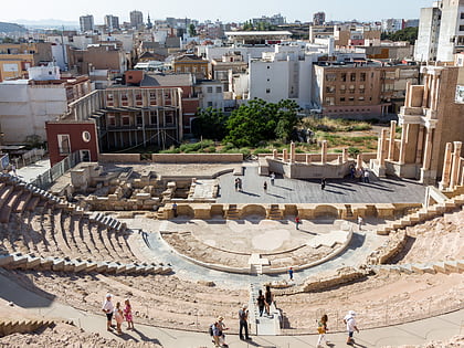
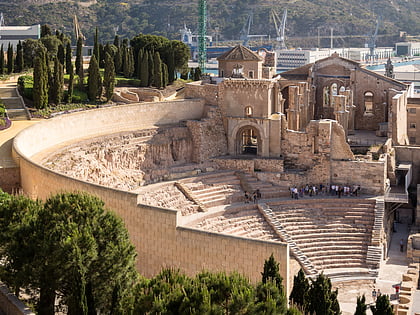
Nearby attractions include: National Museum of Subaquatic Archaeology, Museo Naval, Historical Military Museum of Cartagena, Roman theatre.
Frequently Asked Questions (FAQ)
How to get to Playa Portús by public transport?
Bus
- El Portús • Lines: L12 (5 min walk)
- Galifa, Venta Ramírez • Lines: L12, L4 (27 min walk)


