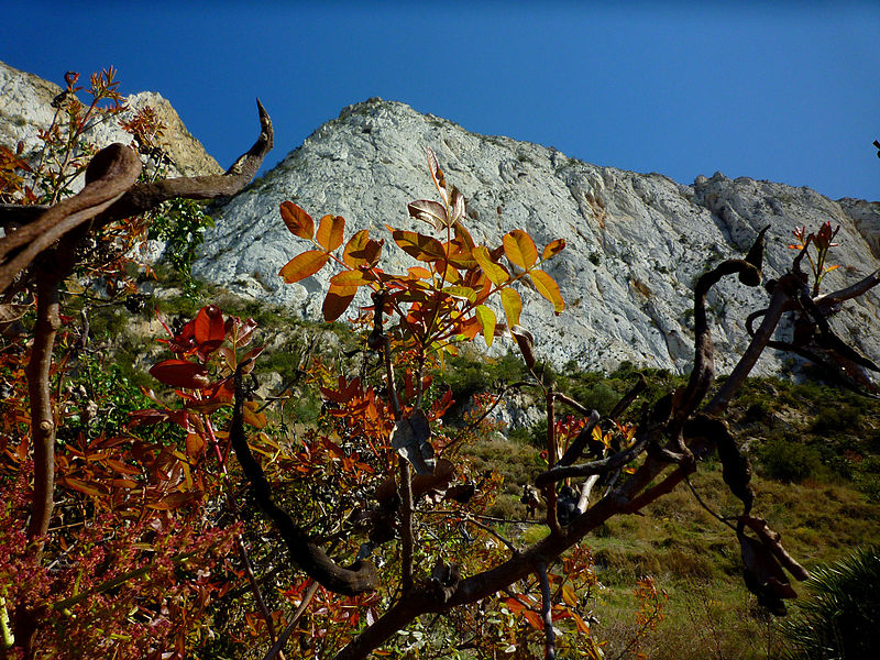
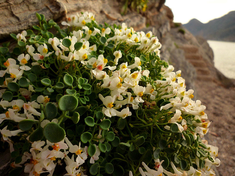
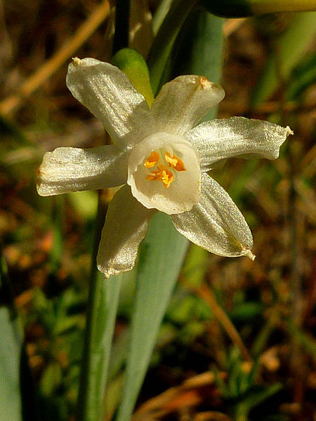
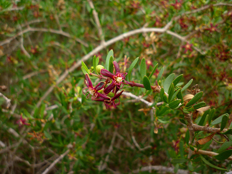
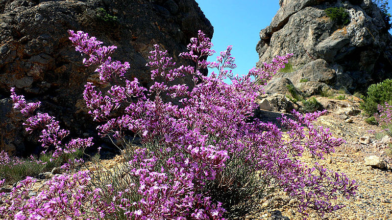
Parque Regional Sierra de la Muela
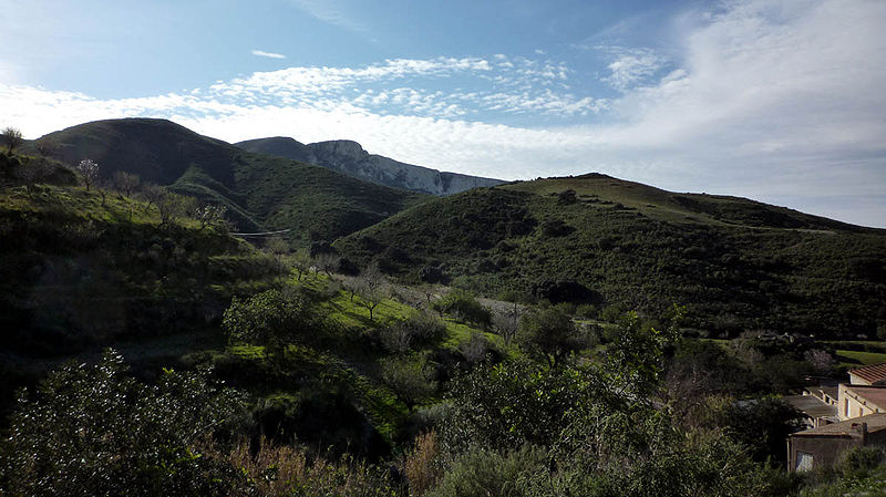
Facts and practical information
The natural area of the Sierra de la Muela, Cape Tiñoso and Roldán is located west of the municipality of Cartagena, in the extreme south of the autonomous community of the Region of Murcia in Spain, extending to the bay of Mazarrón. It is part of the coastal mountain range of Cartagena.
It is one of the most ecologically important places in the southeast, which is why it has been declared ZEPA and LIC. It is protected by the legislation of the Autonomous Community of the Region of Murcia. The Special Plan for the Management of the Natural Resources of the Regional Park has been in process since 2006.
The regional park, of 11 361.04 hectares, occupies practically all the coastal mountain ranges of the west of Cartagena, beginning to the west of the city in the area of Mount Roldán, following by the Moco point, the village of Galifa, El Portús, the Sierra de la Muela, Cabo Tiñoso, the Peñas Blancas, the Campillo de Adentro, La Azohía, the Rambla del Cañar. The area of protection ends in the area of Isla Plana, on the border with the municipality of Mazarrón.
The regional park is mostly within the municipality of Cartagena, although a small part at its western end belongs to the municipalities of Mazarrón and Fuente Álamo.
In July 2008, due to military manoeuvres, a forest fire broke out in the Monte Roldán area, affecting Puntal del Moco and Cabezo de la Estrella, affecting some 60 hectares of pine forest and scrubland.
On June 9, 2012 another fire broke out on the east side of the Sierra de la Muela that affected an area of between 15 and 20 hectares.
Murcia
Parque Regional Sierra de la Muela – popular in the area (distance from the attraction)
Nearby attractions include: Parque Rafael de la Cerda, Batería de Castillitos, Playa Portús.


