Casar de Cáceres
Map

Map

Facts and practical information
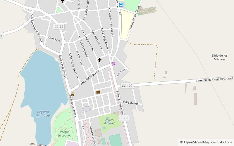
Casar de Cáceres is a town and municipality in the province of Cáceres, in the autonomous community of Extremadura. With 4532 inhabitants in 2017, it is the second most populous municipality in the Tajo-Salor Mancomunidad. In the municipality there are two population centers: Casar de Cáceres and La Perala. The capital of the municipality is located about 10 kilometers from the capital of Caceres, in the middle of Vía de la Plata. ()
Location
Extremadura
ContactAdd
Social media
Add
Day trips
Casar de Cáceres – popular in the area (distance from the attraction)
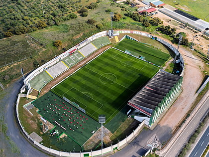
Nearby attractions include: Church of Santiago, Estadio Príncipe Felipe.


