Puntallana, La Palma
Map

Map

Facts and practical information
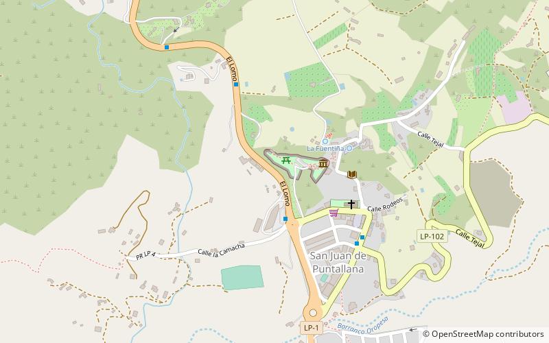
Puntallana is a town and a municipality on the island of La Palma, Province of Santa Cruz de Tenerife, Canary Islands, Spain. It is situated in the northeastern part of the island. The population of the municipality is 2,346 and the area is 35.10 km². The elevation is 420 m. Puntallana is 7 km northeast of the island capital Santa Cruz de La Palma. ()
Address
La Palma
ContactAdd
Social media
Add
Day trips
Puntallana – popular in the area (distance from the attraction)
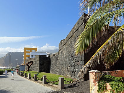
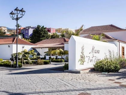
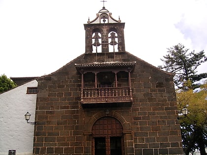
Nearby attractions include: Castillo de Santa Catalina, Museo del Puro Palmero, San Andrés y Sauces, Santuario de Nuestra Senora de Las Nieves.
Frequently Asked Questions (FAQ)
How to get to Puntallana by public transport?
The nearest stations to Puntallana:
Bus
Bus
- El Granel • Lines: 100 (24 min walk)
- Santa Lucia • Lines: 100 (24 min walk)


