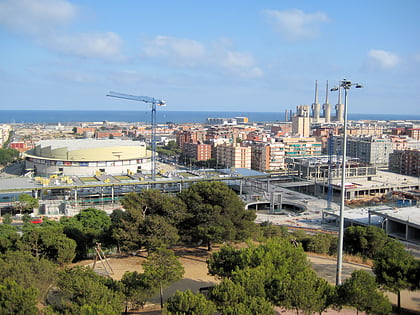
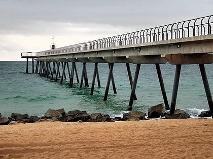
Montgat, Barcelona
Map
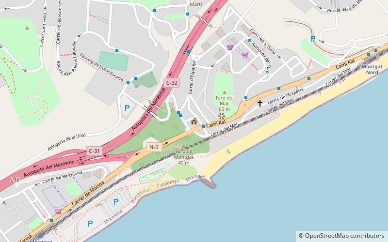
Map

Facts and practical information
Montgat is a municipality in the comarca of the Maresme in Catalonia, Spain. It is situated on the coast between Badalona and El Masnou, to the north-east of Barcelona. The town is both a tourist centre and a dormitory town for Barcelona. The C-31 autopista, B-20 autopista, the main N-II road and a RENFE railway line run through the town. ()
Day trips
Montgat – popular in the area (distance from the attraction)
Nearby attractions include: Palau Municipal d'Esports de Badalona, Premià de Mar Textile Printing Museum, Màgic Badalona, Platja del Fòrum.
Frequently Asked Questions (FAQ)
How to get to Montgat by public transport?
The nearest stations to Montgat:
Bus
Train
Bus
- Pl. de la Vila - Camí Ral • Lines: B29, M30, N9 (1 min walk)
- Catalunya - Miquel Batlle • Lines: B29, B34, B35, M30, N9 (1 min walk)
Train
- Montgat Nord (12 min walk)
- Montgat (12 min walk)

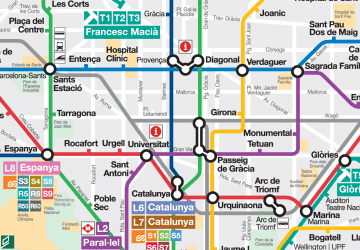 Metro
Metro