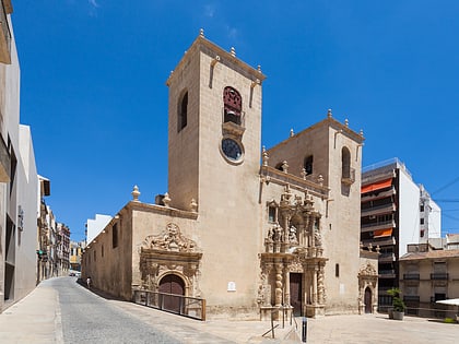
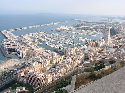
C.C. Panoramis, Alicante

Facts and practical information
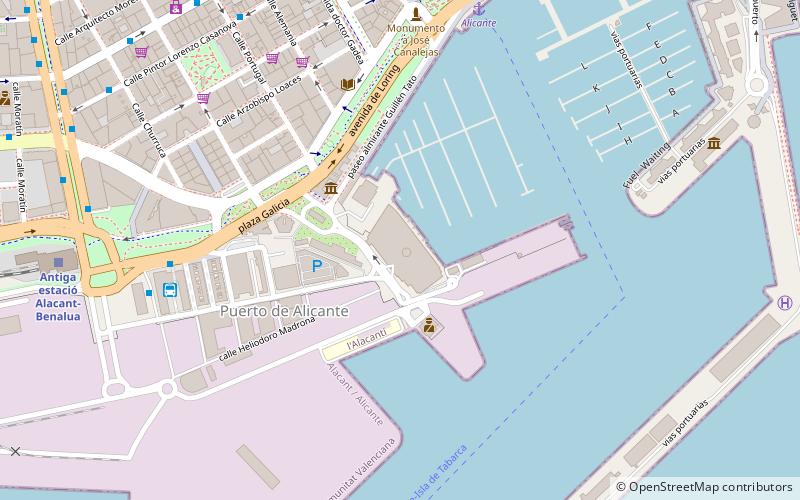
C.C. Panoramis (address: Muelle de Pte., 6) is a place located in Alicante (Valencia autonomous community) and belongs to the category of shopping, shopping centre.
It is situated at an altitude of 30 feet, and its geographical coordinates are 38°20'17"N latitude and 0°29'11"W longitude.
Planning a visit to this place, one can easily and conveniently get there by public transportation. C.C. Panoramis is a short distance from the following public transport stations: Loring-Estación Autobuses (bus, 7 min walk), Alicante (ferry, 8 min walk), Antiga estació Alacant-Benalua (train, 11 min walk), Luceros (tram, 16 min walk).
Among other places and attractions worth visiting in the area are: Lonja de Pescado (museum, 5 min walk), Marina Alicante (sailing, 6 min walk), Port of Alicante (harbor, 9 min walk).
Muelle de Pte., 6Ensanche DiputaciónAlicante 03001
C.C. Panoramis – popular in the area (distance from the attraction)
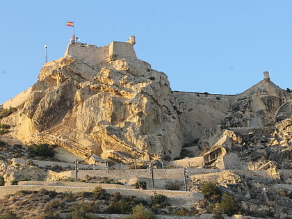
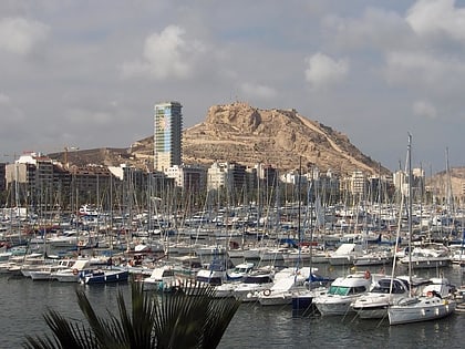
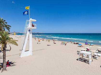
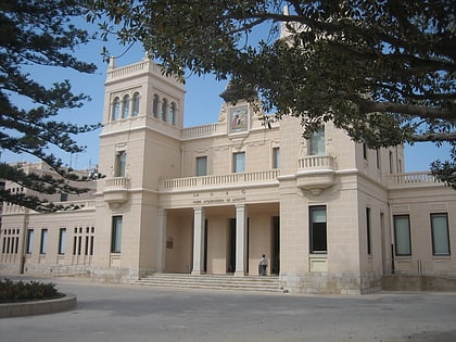
Nearby attractions include: Castell de la Santa Bàrbara, Pabellón Pedro Ferrándiz, Mount Benacantil, Playa del Postiguet.
Frequently Asked Questions (FAQ)
When is C.C. Panoramis open?
- Monday 10 am - 12 am
- Tuesday 10 am - 12 am
- Wednesday 10 am - 12 am
- Thursday 10 am - 12 am
- Friday 10 am - 12 am
- Saturday 10 am - 12 am
- Sunday 10 am - 12 am
Which popular attractions are close to C.C. Panoramis?
How to get to C.C. Panoramis by public transport?
Bus
- Loring-Estación Autobuses • Lines: B, C-6, N1131 (7 min walk)
- Estación de autobuses de Alicante / Estació d'autobusos d'Alacant (7 min walk)
Ferry
- Alicante • Lines: Alicante-Isla de Tabarca (8 min walk)
Train
- Antiga estació Alacant-Benalua (11 min walk)
- Luceros (16 min walk)
Tram
- Luceros • Lines: L1, L2, L3, L4 (16 min walk)
- Mercado • Lines: L1, L2, L3, L4 (19 min walk)

