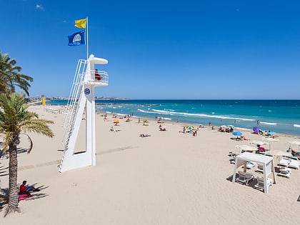
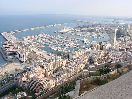
Playa del Postiguet, Alicante
Map
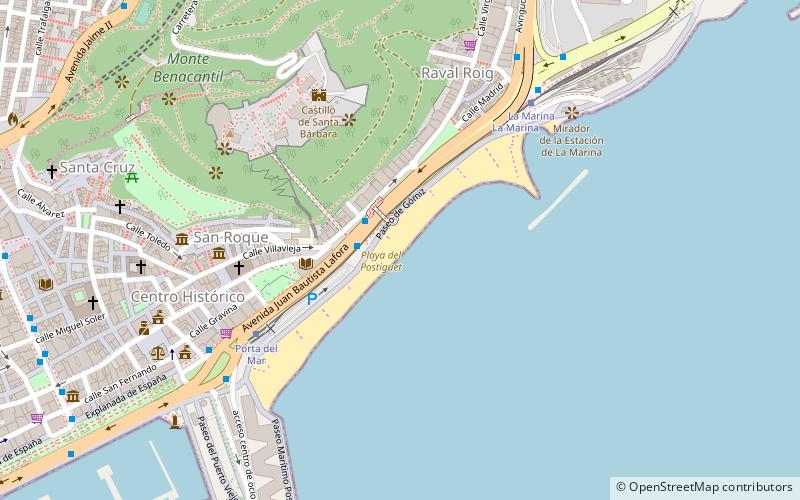
Map

Facts and practical information
Postiguet Beach, or simply El Postiguet, is located in the Spanish city of Alicante, in the Ensanche Diputación neighbourhood, bordering the Santa Cruz and Raval Roig-Virgen del Socorro neighbourhoods.
Address
Playa del PostiguetEnsanche DiputaciónAlicante
ContactAdd
Social media
Add
Day trips
Playa del Postiguet – popular in the area (distance from the attraction)
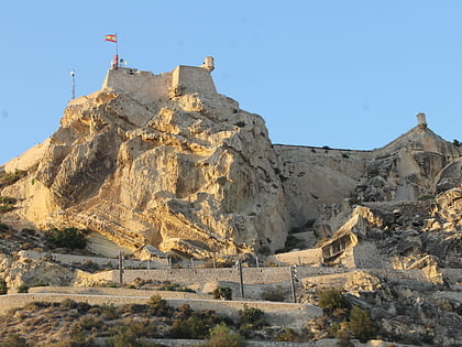
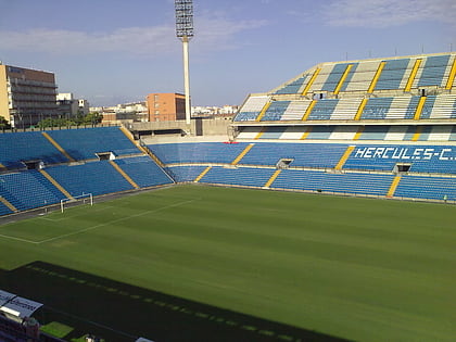
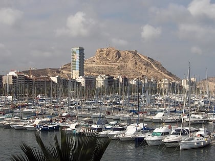
Nearby attractions include: Castell de la Santa Bàrbara, Estadio José Rico Pérez, Pabellón Pedro Ferrándiz, Mount Benacantil.
Frequently Asked Questions (FAQ)
Which popular attractions are close to Playa del Postiguet?
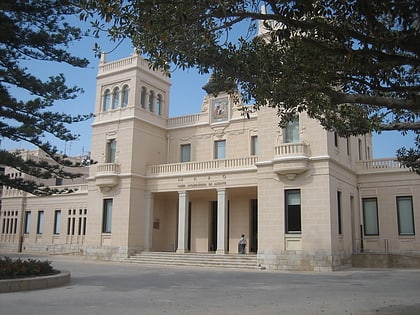
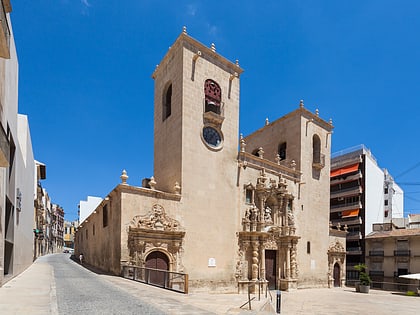
Nearby attractions include biblioteca pública municipal Gabriel Miró, Alicante (3 min walk), Basílica de Santa María, Alicante (5 min walk), Alicante Museum of Contemporary Art, Alicante (6 min walk), Mubag, Alicante (6 min walk).
How to get to Playa del Postiguet by public transport?
The nearest stations to Playa del Postiguet:
Bus
Tram
Train
Ferry
Bus
- Jovellanos - Postiguet • Lines: 02, 21, 22, B (2 min walk)
- Jovellanos - Ascensor Sta. Bárbara • Lines: 02, 21N, 22N, A (2 min walk)
Tram
- MARQ-Castillo • Lines: L1, L2, L3, L4 (10 min walk)
- Mercado • Lines: L1, L2, L3, L4 (13 min walk)
Train
- Mercado (13 min walk)
- Luceros (21 min walk)
Ferry
- Alicante • Lines: Alicante-Isla de Tabarca (15 min walk)
