Pozuelo de Alarcón, Madrid
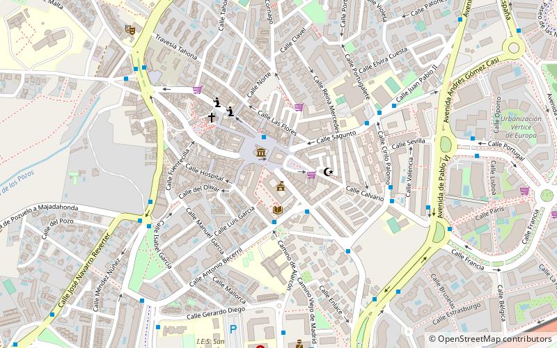
Map
Gallery
Facts and practical information
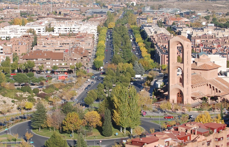
Pozuelo de Alarcón is a municipality in the Community of Madrid, Spain. Bordering the Moncloa-Aravaca district of Madrid proper to its west, Pozuelo de Alarcón is surrounded by large Mediterranean pine-tree forests: the Casa de Campo, the Monte del Pardo, and the Monte del Pilar. As of 2019, it ranks as the wealthiest municipality in Spain. La Finca, an isolated luxury residential area known by its affluent residents, most notably football players, lies within the municipality bounds. ()
Day trips
Pozuelo de Alarcón – popular in the area (distance from the attraction)
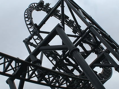
Nearby attractions include: Parque de Atracciones de Madrid, Zoo Aquarium de Madrid, Tornado, Hipódromo de la Zarzuela.
Frequently Asked Questions (FAQ)
How to get to Pozuelo de Alarcón by public transport?
The nearest stations to Pozuelo de Alarcón:
Bus
Light rail
Train
Bus
- 18284 - Luís Béjar - Padre Vallet • Lines: 656, 656A, L2 (2 min walk)
- Antonio Becerril - Ayuntamiento • Lines: 566, 656A, 657, 657A, L2, L3 (2 min walk)
Light rail
- Bélgica • Lines: Ml2 (12 min walk)
- Dos Castillas • Lines: Ml2 (17 min walk)
Train
- Pozuelo (29 min walk)

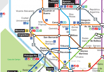 Metro
Metro