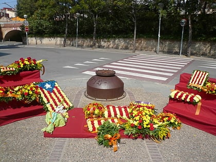
Sant Vicenç dels Horts, Barcelona
Map
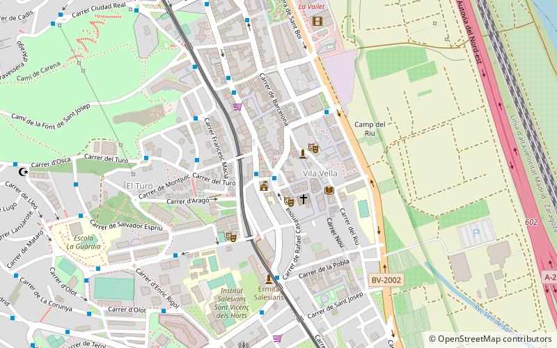
Map

Facts and practical information
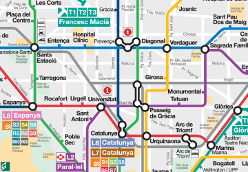
Sant Vicenç dels Horts is a municipality in the Province of Barcelona in Catalonia, Spain. It is situated on the right bank of the Llobregat river, on the N-340 road from Molins de Rei to Vilafranca del Penedès. The main rail lines of the Llobregat corridor pass through the town: the station is served by the FGC services S4, S7, S8, S33, R5 and R6. The remains of an Iberic village are visible at Puig Castellar. ()
Day trips
Sant Vicenç dels Horts – popular in the area (distance from the attraction)
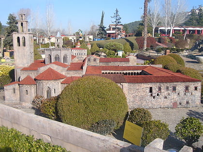
Nearby attractions include: Church of Colònia Güell, Catalunya en Miniatura, Sant Feliu de Llobregat Cathedral, Can Negre.
Frequently Asked Questions (FAQ)
How to get to Sant Vicenç dels Horts by public transport?
The nearest stations to Sant Vicenç dels Horts:
Bus
Train
Bus
- Plaça de la Vila • Lines: e20, Esc, L60, L62, Sv1, Sv2, Sv3 (1 min walk)
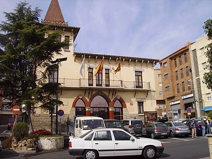
- Casa de la Vila • Lines: e20, Esc, L60, L62, Sv1, Sv2, Sv3 (1 min walk)
Train
- Sant Vicenç dels Horts (11 min walk)
- Can Ros (13 min walk)
 Metro
Metro
