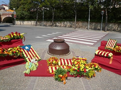
Sant Joan Despí, Barcelona
Map
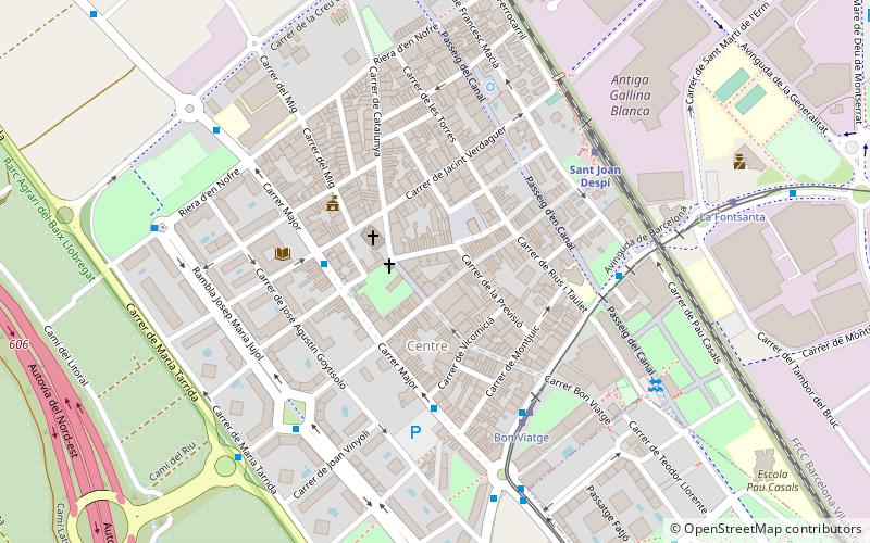
Map

Facts and practical information
Sant Joan Despí is a city and municipality located in the Baix Llobregat area. It is situated on the left bank of the Llobregat river. Es is a dialectal form of the masculine article el, hence Despí would be rendered Del pi in standard Catalan. ()
Day trips
Sant Joan Despí – popular in the area (distance from the attraction)
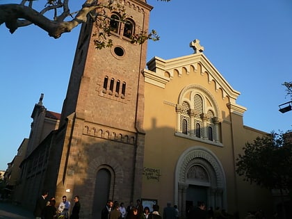
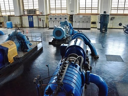
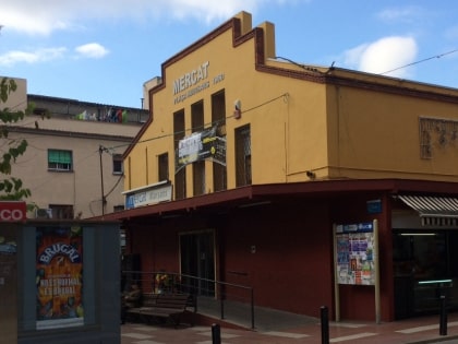
Nearby attractions include: Sant Feliu de Llobregat Cathedral, Can Negre, Museu Agbar de les Aigües, Mercat Marsans.
Frequently Asked Questions (FAQ)
Which popular attractions are close to Sant Joan Despí?
Nearby attractions include Can Negre, Barcelona (2 min walk), Parc de Torreblanca, Barcelona (20 min walk), Museu Agbar de les Aigües, Barcelona (22 min walk).
How to get to Sant Joan Despí by public transport?
The nearest stations to Sant Joan Despí:
Bus
Tram
Train
Metro
Bus
- Major - Pl Constitució • Lines: 78, L46, L52, N15 (3 min walk)
- Av Barcelona - Bon Viatge • Lines: 78, L46, L77, N15 (5 min walk)
Tram
- Bon Viatge • Lines: T1, T2 (5 min walk)
- La Fontsanta • Lines: T2 (8 min walk)
Train
- Sant Joan Despí (6 min walk)
- Cornellà (25 min walk)
Metro
- Cornellà Centre • Lines: L5 (25 min walk)
- Cornellà-Riera • Lines: L8 (33 min walk)

 Metro
Metro