Templete da Rede de San Luis, O Porriño

Gallery (1)
Map
Map
Facts and practical information
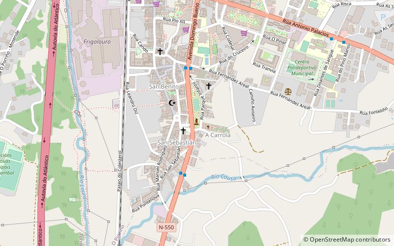
Templete da Rede de San Luis is a place located in O Porriño (Galicia autonomous community) and belongs to the category of sightseeing.
It is situated at an altitude of 95 feet, and its geographical coordinates are 42°9'26"N latitude and 8°37'9"W longitude.
Among other places and attractions worth visiting in the area are: Capela de San Sebastián (church, 2 min walk), Capela de San Bieito (church, 3 min walk), Cruceiro do Cristo dos Cachos (wayside shrine, 4 min walk).
Coordinates: 42°9'26"N, 8°37'9"W
Address
O Porriño
ContactAdd
Social media
Add
Day trips


Frequently Asked Questions (FAQ)
Which popular attractions are close to Templete da Rede de San Luis?
Nearby attractions include Capela de San Sebastián, O Porriño (2 min walk), Capela de San Bieito, O Porriño (3 min walk), Cruceiro do Cristo dos Cachos, O Porriño (4 min walk), A Carrola watermill, O Porriño (5 min walk).