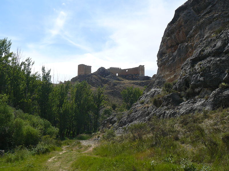
Castillo de Osma

Gallery (3)
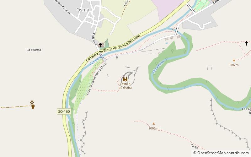
Map
Map
Gallery
Facts and practical information
Osma Castle stands on a hill on the outskirts of the towns of El Burgo de Osma and Osma, province of Soria. The castle sits on a hill between the rivers Ucero and Abión, close to the famous Roman city of Uxama Argaela, and can be reached from either town by the SO-160 road towards El Enebral, or by the SO-180 road towards La Rasa.
In 2020 it was restored.
Coordinates: 41°34'43"N, 3°4'48"W
Location
Castile and León
ContactAdd
Social media
Add
Day trips


