Sierra de Gúdar
Map

Map

Facts and practical information
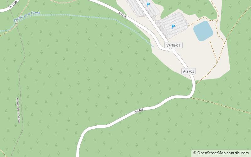
Sierra de Gúdar is a mountain range in the Gúdar-Javalambre and Maestrazgo comarcas of Aragon and the Alto Mijares comarca of the Valencian Community, Spain. The highest point in the range is Peñarroya. ()
Location
Aragon
ContactAdd
Social media
Add
Day trips
Sierra de Gúdar – popular in the area (distance from the attraction)
Nearby attractions include: Alcalá de la Selva, Valdelinares, Gúdar, Linares de Mora.


