Sierra de Albarracín

Gallery (1)
Map
Map
Facts and practical information
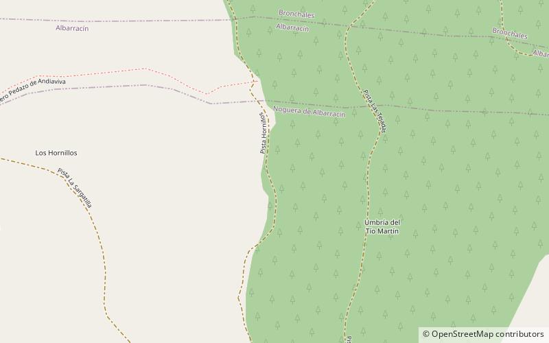
Sierra de Albarracín is a 28 km long mountain range in the southwestern end of the Iberian System. Its highest point is the 1,856 m high summit known as Sierra Alta. ()
Location
Aragon
ContactAdd
Social media
Add
Day trips


