Sierra de Cuera
Map

Map

Facts and practical information
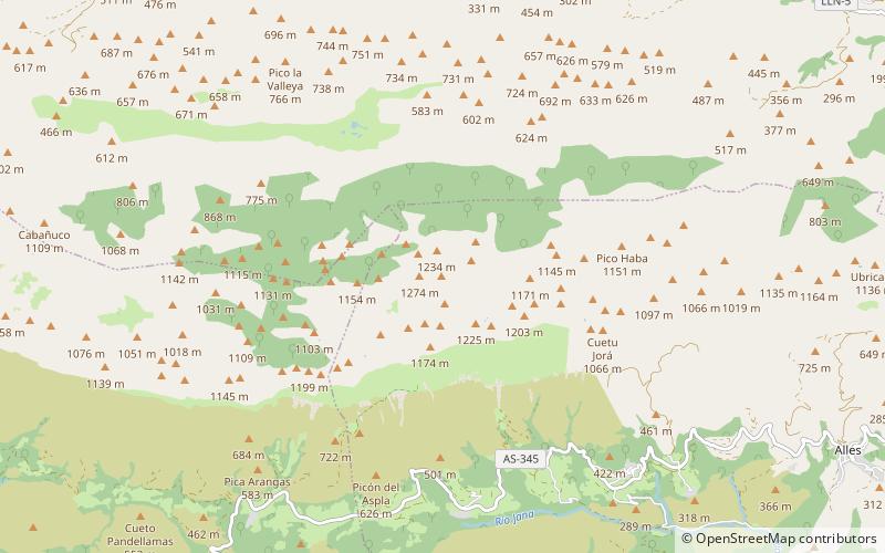
Sierra de Cuera, is a 30 km long mountain chain of the Cantabrian Mountains. The ridge's highest point is Pico Turbina. This mountain range is located at 6 km from the sea and runs parallel to the coast. It lies within the Cabrales, Llanes, Peñamellera Alta, Peñamellera Baja and Ribadedeva municipal terms. ()
Location
Asturias
ContactAdd
Social media
Add
Day trips
Sierra de Cuera – popular in the area (distance from the attraction)
Nearby attractions include: Playa de Toró, Playa de La Ballota, Tower of Llanes, Capilla de Santa Ana.


