Velilla de San Antonio, Madrid
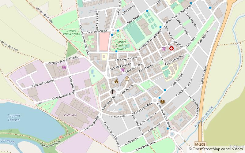
Map
Facts and practical information
Velilla de San Antonio is a town in Spain. It is located in the Madrid Metropolitan Area, in the Community of Madrid. It had a population of 12,236 in 2019. ()
Getting there by public transportation
Public transportation stops near this location
- Bus
 Bus
Bus
- Calculate route15784 7 min walk
Maps Metro
Metro
MetroDay trips


Frequently Asked Questions (FAQ)
How to get to Velilla de San Antonio by public transport?
The nearest stations to Velilla de San Antonio:
Bus
Bus
- 15784 • Lines: 285 (7 min walk)