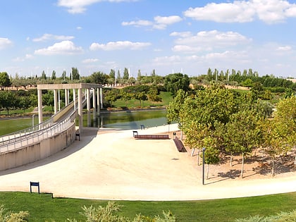
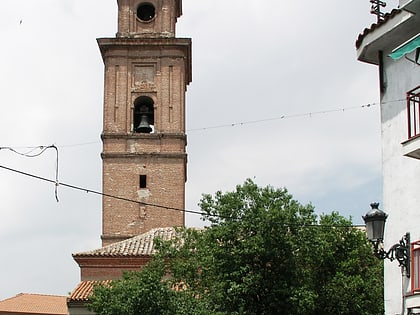
San Fernando de Henares, Madrid
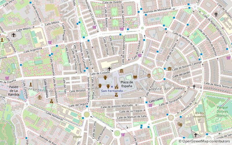
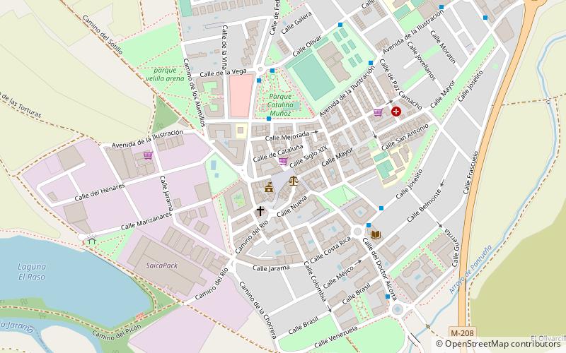
Map
Facts and practical information
San Fernando de Henares is a municipality in Spain, in the province and autonomous community of Madrid. It has an area of 39.9 km² and 41,380 inhabitants. Its agricultural production includes olives, cereals, vegetables, cattle and wool. Its industries include metalworking, mechanical engineering, food processing and graphic arts. ()
Day trips
San Fernando de Henares – popular in the area (distance from the attraction)
Nearby attractions include: Faunia, El Capricho Park, Parque Juan Carlos I, Metropolitano Stadium.
Frequently Asked Questions (FAQ)
How to get to San Fernando de Henares by public transport?
The nearest stations to San Fernando de Henares:
Bus
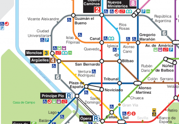
Metro
Bus
- Coslada, 14 • Lines: 283 (1 min walk)
- Madrid, SN • Lines: 283, 288 (5 min walk)
Metro
- San Fernando • Lines: L7 (2 min walk)
- Hospital de Henares • Lines: L7 (15 min walk)
 Metro
Metro

